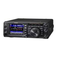
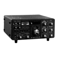
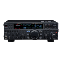
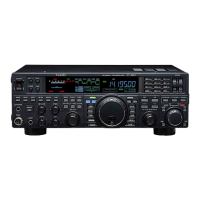
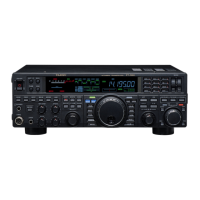
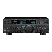
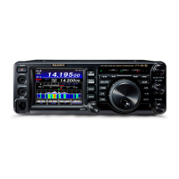
Page 116 FT-
991
Connecting a YAESU
,
or a commercially available GPS receiver/antenna to
the
will permit the transceiver to constantly receive and display the station location information.
By utilizing the GPS location information, you can register stations with which you frequently communicate and use the
GM function to conrm whether they are within communication range.
GPS or Global Positioning System is a satellite location
system that is used to determine the current position on
earth. It is a military system developed by the US De-
partment of Defense with approximately 30 GPS satel-
lites orbiting the earth at an altitude of about 20,000 km,
When signals from three or more satellites in space are
received, the current position information
(
longitude,
latitude, altitude etc.
)
may be determined within an ac-
curacy of several meters. The accurate time can also be
received from the atomic clock built into the GPS satel-
lite.
About GPS Positioning
Positioning refers to the calculation of one’s own position derived from the satellites orbit information and the
transmission time of the radio waves. Positioning requires that three or more satellites be acquired. When posi-
tioning cannot be carried out properly, move to an open space as far away from buildings as possible and where
there are fewer obstructions.
Depending on the surrounding environment of the receiver location, an error of several hundred meters may oc-
cur. Although positioning is possible using only three satellites, depending on the positioning conditions, the po-
sitioning accuracy may become worse, or may no longer be possible under the following conditions:
Between high rise buildings, narrow roads between buildings, indoors and under the shade of buildings, be-
low high voltage lines and underneath overhead structures, between trees and shrubs such as in forests and
woods, inside tunnels and underground, when used behind a solar-energy reecting glass, locations where a
strong magnetic eld occurs
When using the GPS function for the rst time after purchasing the
transceiver, and when turning it on
after It has not been used for a long period time, positioning may take several minutes in order to search for the
satellites. Also, when using the device again several hours after switching o the power, positioning may take
several minutes in order to search for the satellites.
1. Press and hold in the front panel
switch to
turn the transceiver on.
The satellite search will begin and the “ ” icon will
be displayed at the top right of the screen.
It may take several minutes to acquire the satel-
lites.
When three or more satellites cannot be acquired,
the icon display will disappear. In this case, posi-
tioning is not possible and the position informa-
tion cannot be used.
 Loading...