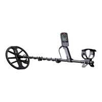
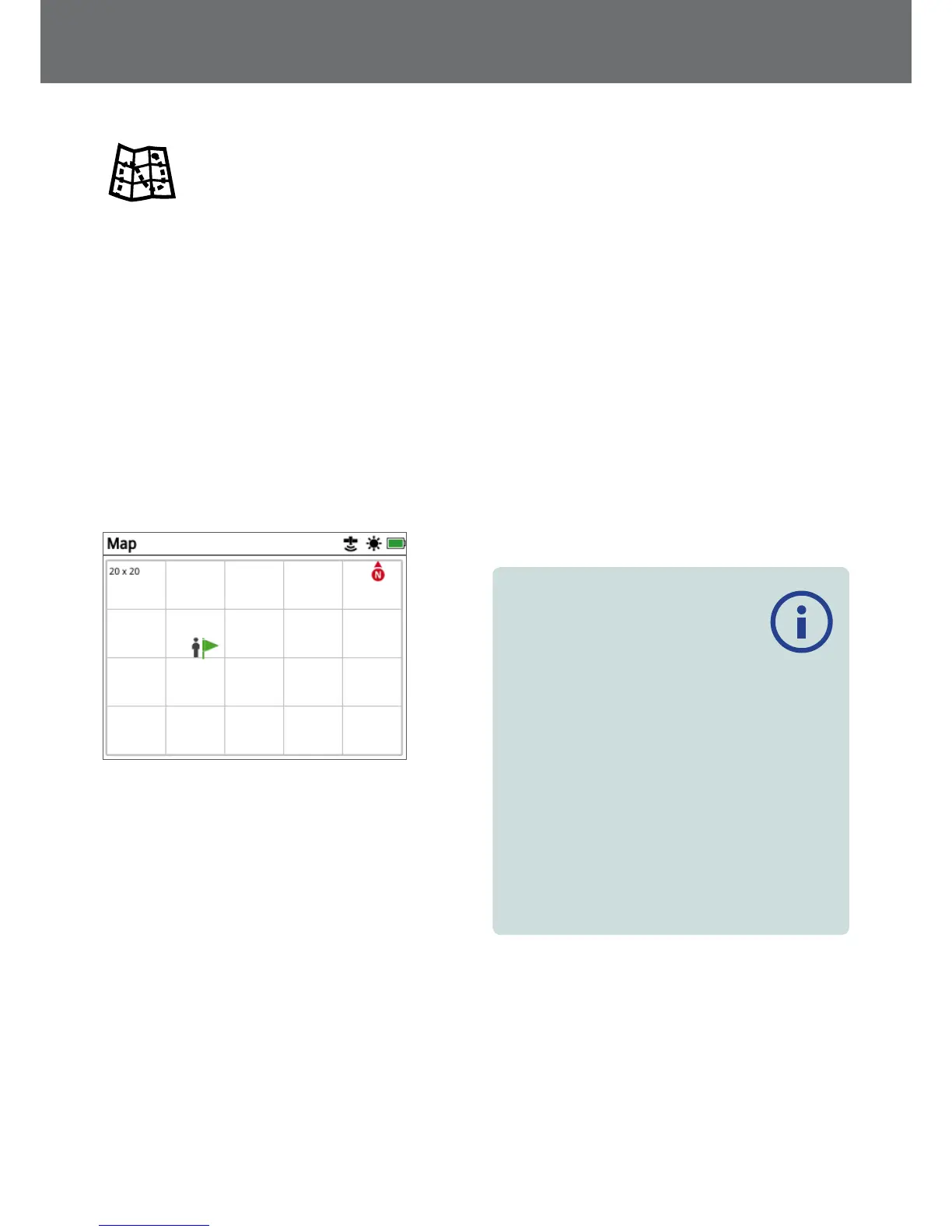
Map
Map
The Map displays FindPoints, WayPoints, GeoHunts
and GeoTrails in their relative geographic locations. It
represents a default map dimension of 100 metres (or
yards) in the east-west horizontal direction and 80 metres
(or yards) in the north-south vertical direction.
The Map displays north-south and east-west grid lines,
and your current location. The distance between the grid
lines will depend on your current Zoom Level (page 38).
The upper horizontal edge of the screen display will
represent north, irrespective of the detector orientation.
At the top of the Map is the Status Bar, which displays
information about the current detector settings.
(page 18).
Example Map screen
Use the Map to:
• View your current location and GPS coordinates
• View your GeoTrail, WayPoints, FindPoints and GeoHunts
• Navigate to a location
• View the status of the detector
GPS
The Global Positioning System (GPS) is a space-based
satellite navigation system that provides location and
time information from any location where there is an
unobstructed line of sight to four or more GPS satellites.
The location and navigational elements of the Map work
in conjunction with GPS. Once GPS is turned on, a flashing
GPS icon will appear on the Status Bar. When a position
fix has been established (which may take several minutes),
the GPS icon on the Status Bar will stop flashing and will
remain on.
On entering the Map, a marker will be displayed at the
centre of the screen to represent your initial start location.
If there is a valid GPS position fix, movement will be
displayed on the Map as a series of dots that form a
GeoTrail.
On the GPZ 7000, GPS provides the capability to store
location data relating to FindPoints and WayPoints, and to
record GeoHunts. By default, GPS is turned off and must
be turned on via the Settings page (page 28).
NOTE
If there is no WayPoint, FindPoint or GeoHunt
near your current location, the Map may be
blank.
To protect the privacy of your GPS and GeoStore
data:
• GPS is ‘Off’ by default.
• GPS and GeoStore data is only ever stored locally on
your detector and locally on your PC (if transferred
using XChange 2).
• The detector does NOT transmit GPS or GeoStore data
wirelessly.
• GPS and GeoStore data is NOT transmitted to Minelab
from your detector or PC.
• Your data is NOT accessible by others via the internet
and NOT stored online (cloud storage).
Map
35
 Loading...