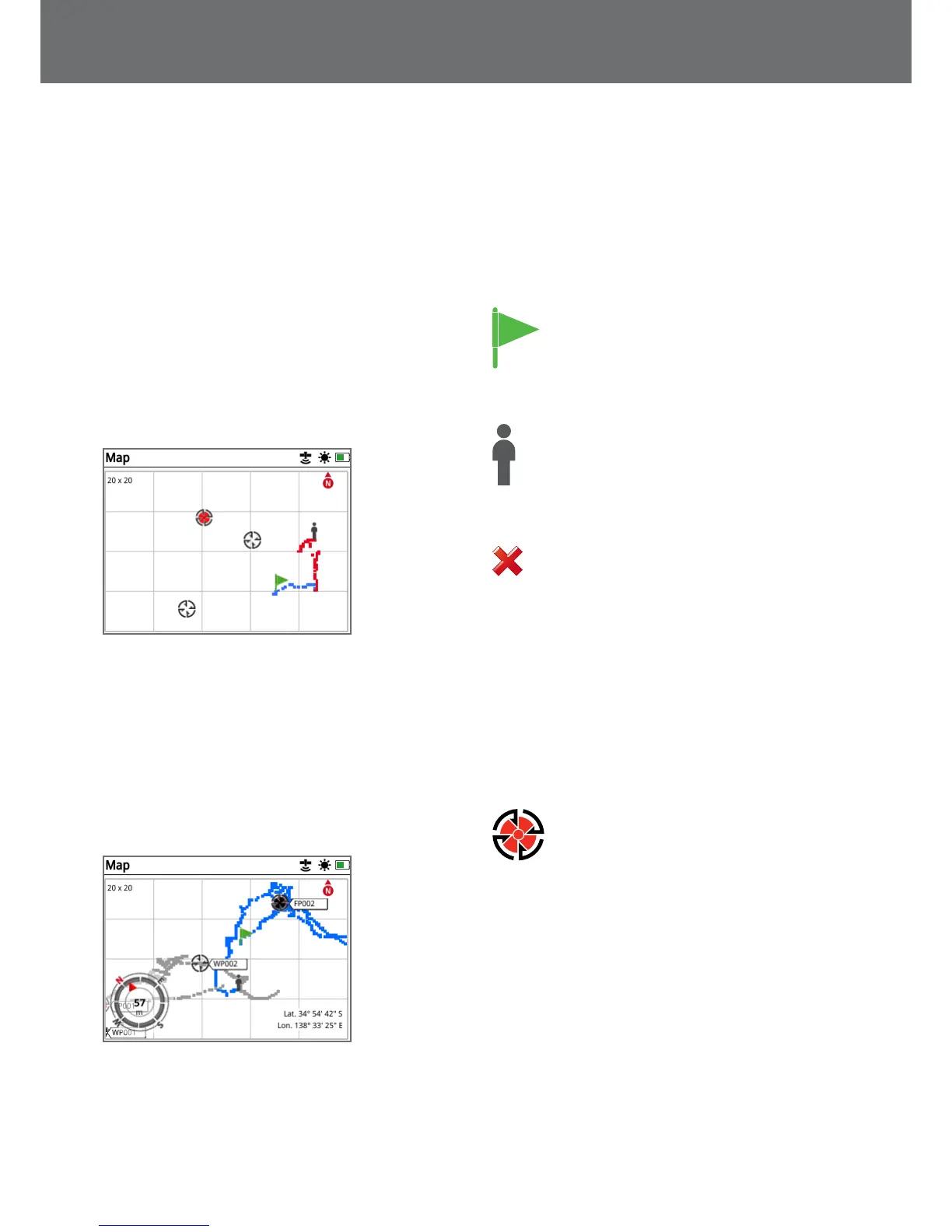
Map Elements
The information on the Map will vary according to its
current state and your user preferences. The Map can
display the following elements:
• Map Zoom
• Start Trail
• Current Position
• FindPoints and WayPoints
• GeoTrail
• GeoHunt
• Navigation Tool
• North Marker
• Coordinates
Map showing map elements
The following Map elements are optional and can be
turned on or off on the View page:
• GeoTrail
• Saved GeoHunt
• Navigation Tool
• Coordinates
• Names of GeoStore items
(FindPoints, WayPoints and GeoHunts)
Map showing optional elements
For information on how to show and hide optional screen
elements, see page 39.
Map Zoom
The Map Zoom indicator is displayed at the top left of
the Map. It indicates the current size of the grid square in
metres or yards (10 x 10, 20 x 20 or 100 x 100).
The Map Zoom can be changed via the Display page
(page 38).
Start Trail
On entering the Map a marker will be displayed
at the centre of the screen to represent your
initial start location.
Current Position
The current position marker displays your location
on the Map.
If the GPS connection is lost, the Current Position
icon will be replaced by the Lost Position icon. It
indicates the last known location before GPS connection
was lost.
The Lost Position icon
FindPoints and WayPoints
FindPoints and WayPoints are displayed on the Map to
indicate find locations and points of interest. They will
be displayed at a consistent size regardless of the zoom
level, but those in close proximity will be overlapped. By
default FindPoints and WayPoints are displayed with their
names, but if space is limited the names can be hidden
(page 39).
FindPoint
A FindPoint stores the location, weight and
depth information of a found target. When you
store a FindPoint (page 43), the GPZ 7000
saves the following information:
• Location (Latitude/Longitude)
• Time and date
• Detector settings and coil model
• Depth (Entered by user, see page 43)
• Weight (Entered by user, see page 43)
Your FindPoint information can be used for future
reference within the detector and with the XChange 2 PC
application (page 47).
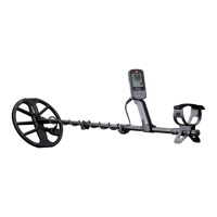
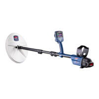
Map
36
 Loading...