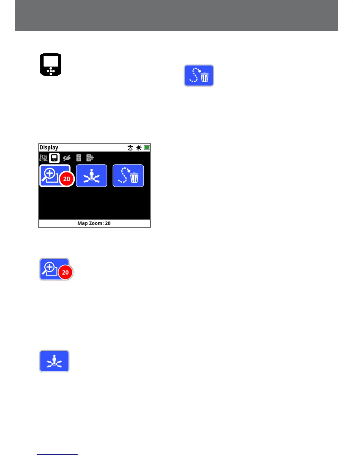
Display
The Display page is where you can adjust the zoom levels
of the Map, show your current position on the Map, and
clear a GeoTrail.
The Display page contains the following functions:
• Map Zoom
• Re-centre
• Clear GeoTrail
The Display Page
Map Zoom
Three zoom levels are available for
viewing the Map:
• 10 (10 x 10 metres/yards per cell)
• 20 (20 x 20 metres/yards per cell- default)
• 100 (100 x 100 metres/yards per cell)
To adjust the zoom level, navigate to the Display page,
then select Map Zoom. Select your preferred zoom level
from the selection box (10, 20 or 100), then press Select.
Re‑centre
Re-centre will place your current position
at the centre of the Map.
Clear GeoTrail
Clear GeoTrail removes the current
non-recorded GeoTrail (blue) from the
Map. The recorded GeoTrail (red) remains.
Any saved GeoHunts (grey) that are
being displayed (page 41) will also remain.
Display
38
 Loading...