39NX501E/NZ501E
English
English
Owner’s Manual
4
Reference Guide
On the following pages you will find the description of the different concepts and menu screens of Clarion Mobile
Map.
4.1 Concepts
4.1.1 Smart Zoom
Smart Zoom provides much more than just a usual automatic zoom feature:
•While following a route: when approaching a turn, it will zoom in and raise the view angle to let you easily
recognise your manoeuvre at the next junction. If the next turn is at a distance, it will zoom out and lower the
view angle to be flat so you can see the road in front of you.
•While driving without an active route: Smart Zoom will zoom in if you drive slowly and zoom out when you drive
at high speed.
4.1.2 Daytime and night colour themes
Clarion Mobile Map uses different colour themes during the day and during the night for both the map and the
menu screens.
•Daytime colours are similar to paper road maps, and the menus are bright.
•The night colour themes use dark colours for large objects to keep the average brightness of the screen low.
Clarion Mobile Map offers different daytime and night colour profiles. It can also switch automatically between the
daytime and the night schemes based on the current time and GPS position a few minutes before sunrise, when the
sky has already turned bright, and a few minutes after sunset, before it becomes dark.
4.1.3 Route calculation and recalculation
Clarion Mobile Map calculates the route based on your preferences:
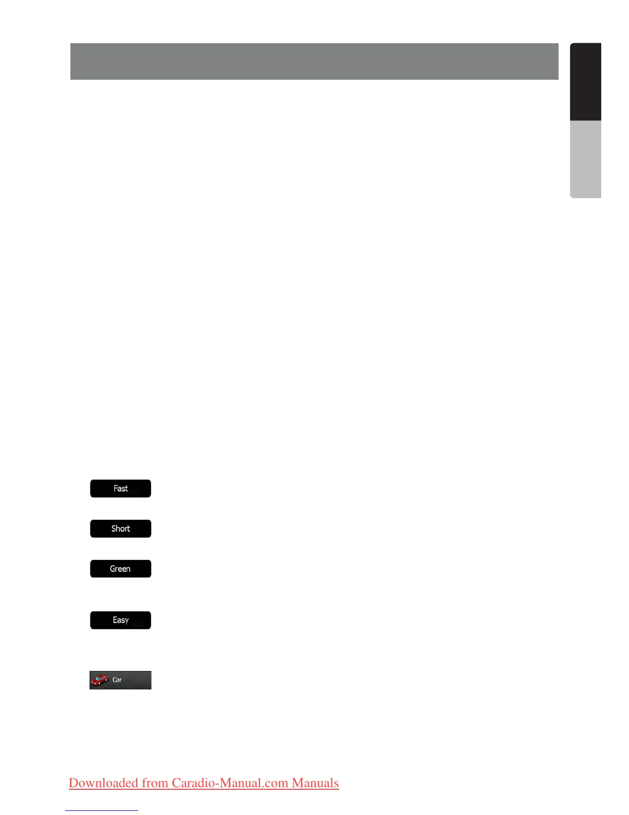
•Route planning methods:
• : Gives a quick route if you can travel at or near the speed limit on all roads. Usually the best
selection for fast and normal cars.
• : Gives a route that has the smallest total distance of all possible routes. It can be practical for
slow vehicles.
• : Gives a quick but fuel efficient route based on the fuel consumption data given in Green Routing
settings (page 75). Travel cost and CO
2
emission calculations are estimations only. They cannot take elevations,
curves and traffic conditions into account.
• : Results in a route with fewer turns and no difficult manoeuvres. With this option, you can make
Clarion Mobile Map to take, for example, the motorway instead of a series of smaller roads or streets.
•Vehicle types:
• :
•Manoeuvre restrictions and directional constraints are taken into account when planning a route.
•Roads are used only if access for cars is allowed.
•Private roads and resident-only roads are used only if they are inevitable to reach the destination.
•Walkways are excluded from routes.
Clarion_primo_1_1_EU_UserManual_EN-UK.indd 39 2011-2-23 11:24:14
Downloaded from Caradio-Manual.com Manuals

 Loading...