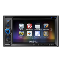
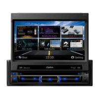
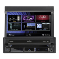
41NX501E/NZ501E
English
English
Owner’s Manual
The application can warn you when you approach road
safety cameras like speed cameras or dangerous areas
like school zones or railroad crossings. You can set
up the different alert types individually in Sound and
Warning settings (page 44).
The following alert types are available:
•Audio warning: beeps or the spoken type of the
alert can be played while you are approaching one
of these points, or extra alert sounds if you exceed
the given speed limit while approaching.
•Visual warning: the type of the alert point, its
distance and the related speed limit appear on
the Map screen while you are approaching one of
these cameras. The distance from the camera is
also displayed.
For some of the alert points, the enforced or expected
speed limit is available. For these points, the audio
alert can be different if you are below or above the
given speed limit.
•Only when speeding: The audio alert is only played
when you exceed the given speed limit.
•When approaching: The audio alert is always
played. In order to draw your attention, the alert
can be different if you exceed the speed limit.
Note!
The warning for road safety cameras
is disabled when the GPS position is
not yet available or if you are in certain
countries where road safety camera
warning is prohibited.
4.1.6 Speed limit warning
Maps may contain information about the speed limits of
the road segments. Clarion Mobile Map is able to warn
you if you exceed the current limit. This information may
not be available for your region (ask your local dealer),
or may not be fully correct for all roads in the map.
Speed warning can be fine-tuned in Sound and Warning
settings (page 44).
You can set the relative speed above which the
application initiates the warning.
The following alert types are available:
•Audio warning: you receive a verbal warning
when you exceed the speed limit with the given
percentage.
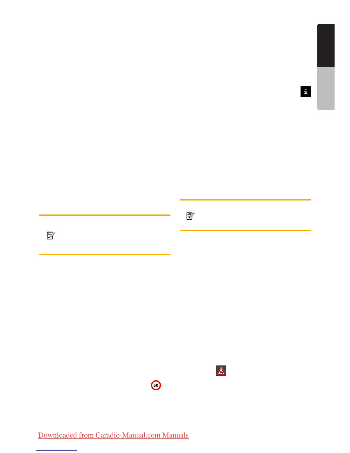
•Visual warning: the current speed limit is shown on
the map when you exceed it (for example:
).
You can also choose to see the speed limit sign on the
map all the time.
4.1.7 Traffic information in route planning
The recommended route is not always the same
between two points. Real-time traffic information can
help you avoid current traffic events like temporary road
closures or a traffic jam caused by an accident. The
function is subject to data availability.
You can display the live traffic information on the map
if you browse the map and select this option from the
More menu. A 2D map is displayed with road segments
coloured by the severity of traffic events. Tap the event
type icon at the road segment and then tap the
button to get information about the traffic event.
4.1.7.1 Real-time traffic information (TMC
TMC (Traffic Message Channel) can provide you with
the real-time status of the traffic. Route calculation can
avoid road blocks or unexpected traffic jams caused by
an accident.
TMC is a specific application of the FM Radio Data
System (RDS) used for broadcasting real-time traffic
and weather information.
Using traffic information is enabled by default in Clarion
Mobile Map.
Note!
TMC is not a global service. It may not be
available in your country or region. Ask
your local dealer for coverage details.
NX501E/NZ501E contains the TMC receiver that is
needed to receive Traffic events.
If public Traffic data is broadcast at your location,
Clarion Mobile Map automatically takes into account the
traffic events received. You do not need to set anything
in the program. The receiver will automatically search
the FM radio stations for TMC data, and the decoded
information will immediately be used in route planning.
When Clarion Mobile Map receives traffic information
that may affect your route, the program will warn you
that it is recalculating the route, and navigation will
continue with a new route that is optimal considering
the most up-to-date traffic conditions.
To fine-tune this recalculation, you can set the minimum
delay that can trigger a route recalculation, or you can
instruct Clarion Mobile Map to have you confirm the
new recommended route before it takes effect. You can
do these in Traffic settings (page 45).
A special icon (
) is displayed on the Map screen to
show you whether traffic events are received. The icon
shows the status of the traffic receiver when there are
no traffic events on your route, otherwise it shows the
type of the next traffic event on your route.
Road segments affected by traffic events are displayed
with an alternate colour on the map, and small symbols
above the road show the nature of the event:
Clarion_primo_1_1_EU_UserManual_EN-UK.indd 41 2011-2-23 11:24:16
Downloaded from Caradio-Manual.com Manuals

 Loading...