8 NX501E/NZ501E
English
Owner’s Manual
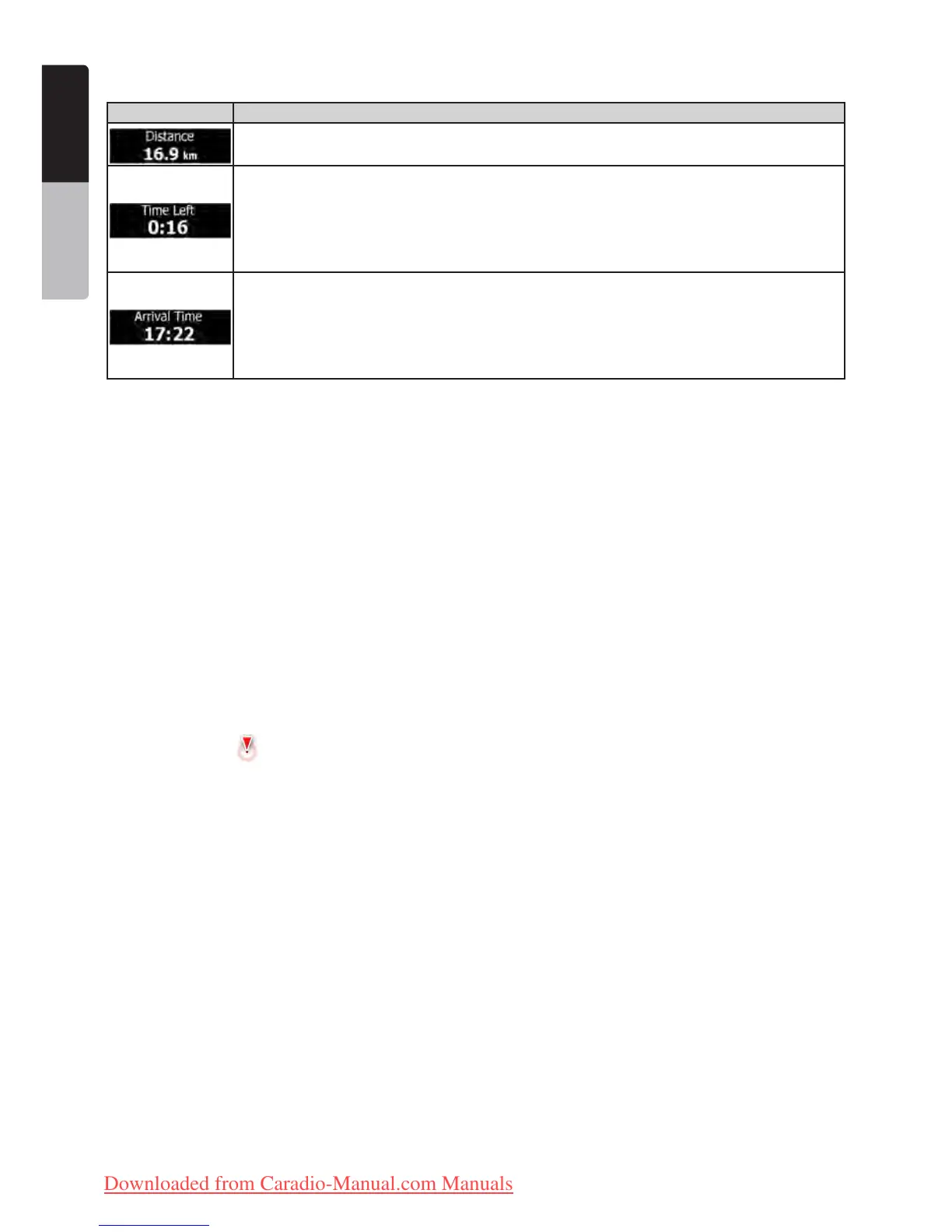
Default data fields when navigating a route (tap and hold any of the fields to change its value):
Field Description
Shows the distance you need to travel on the route before reaching your final destination.
Shows the time needed to reach the final destination of the route based on information available
for the remaining segments of the route.
If NX501E/NZ501E is capable of receiving live traffic information, the calculation takes into
account traffic delays affecting your route if they are received. However, this calculation is
rarely accurate.
Shows the estimated arrival time at the final destination of the route based on information
available for the remaining segments of the route.
If NX501E/NZ501E is capable of receiving live traffic information, the calculation takes into
account traffic delays affecting your route if they are received. However, this calculation is
rarely accurate.
2.2.2 Position markers
2.2.2.1 Vehimarker and Lock-on-Road
When your GPS position is available, Clarion Mobile Map marks your current position with the Vehimarker. By
default, this marker is a red arrow, but you can change this icon in Settings.
The Vehimarker may not show your exact GPS position and heading. If roads are near, it is aligned to the nearest
road to suppress GPS position errors, and the direction of the icon is aligned to the direction of the road.
2.2.2.2 Selected map location (Cursor) and selected map object
You can mark a map location in the following ways:
•Tap the map when navigating,
•Tap the map when you are asked to confirm the destination at the end of a search, or
•Tap the map in Find on Map (page 28)
When a map location is selected, the Cursor appears at the selected point on the map. The Cursor is displayed with
a radiating red dot (
) to make it visible at all zoom levels.
The location of the Cursor can be used as the destination of the route, a new alert point, you can search for Places
around it, or you can save this location as one of your Favourite destinations.
You can also select some of the objects on the map. If you tap the map at the icon of a Place of Interest or an alert
point, the object will be selected (you see a red circling border around the object), and you can get information about
this object or use it as a route point.
2.2.3 Objects on the map
2.2.3.1 Streets and roads
Clarion Mobile Map shows the streets in a way that is similar to how the paper road maps show them. Their width
and colours correspond to their importance: you can easily tell a motorway from a small street.
2.2.3.2 Turn preview and Next street
When navigating a route, the top section of the Map screen shows information about the next route event
(manoeuvre) and the next street or the next city/town.
Clarion_primo_1_1_EU_UserManual_EN-UK.indd 8 2011-2-23 11:23:22
Downloaded from Caradio-Manual.com Manuals

 Loading...