47
A
utorouting
Autoroutingisavailablewhenusingcompatiblecartography.
Autoroutingallowsyoutobuildarouteautomaticallybetweenapoint
onthechartandyourvessel.
Y oucanselectanypointontheChartandfromtheChartcontext
menuselect Autoroutetohereoryoucanselect Autoroutetofrom
anexistingwaypoint’scontextmenutocreatearouteautomatically
betweenyourvesselandthechosenpoint.
Thecreatedrouteisgeneratedbycomparingdataavailableonyour
cartographyagainsttheminimumsafedistancesspecifiedinthe
Boat
detailsmenu:( Homescreen>Settings>Boatdetails).
W
aypointswillnotbeplacedinareasthatconflictwithyourspecified
minimumsafedistances.Cautionsymbolsareusedforwaypointsthat
arenearobjectsorrestrictedareas.
Neverfollowaroutebeforecheckingeachroutelegissafeforyour
vessel.
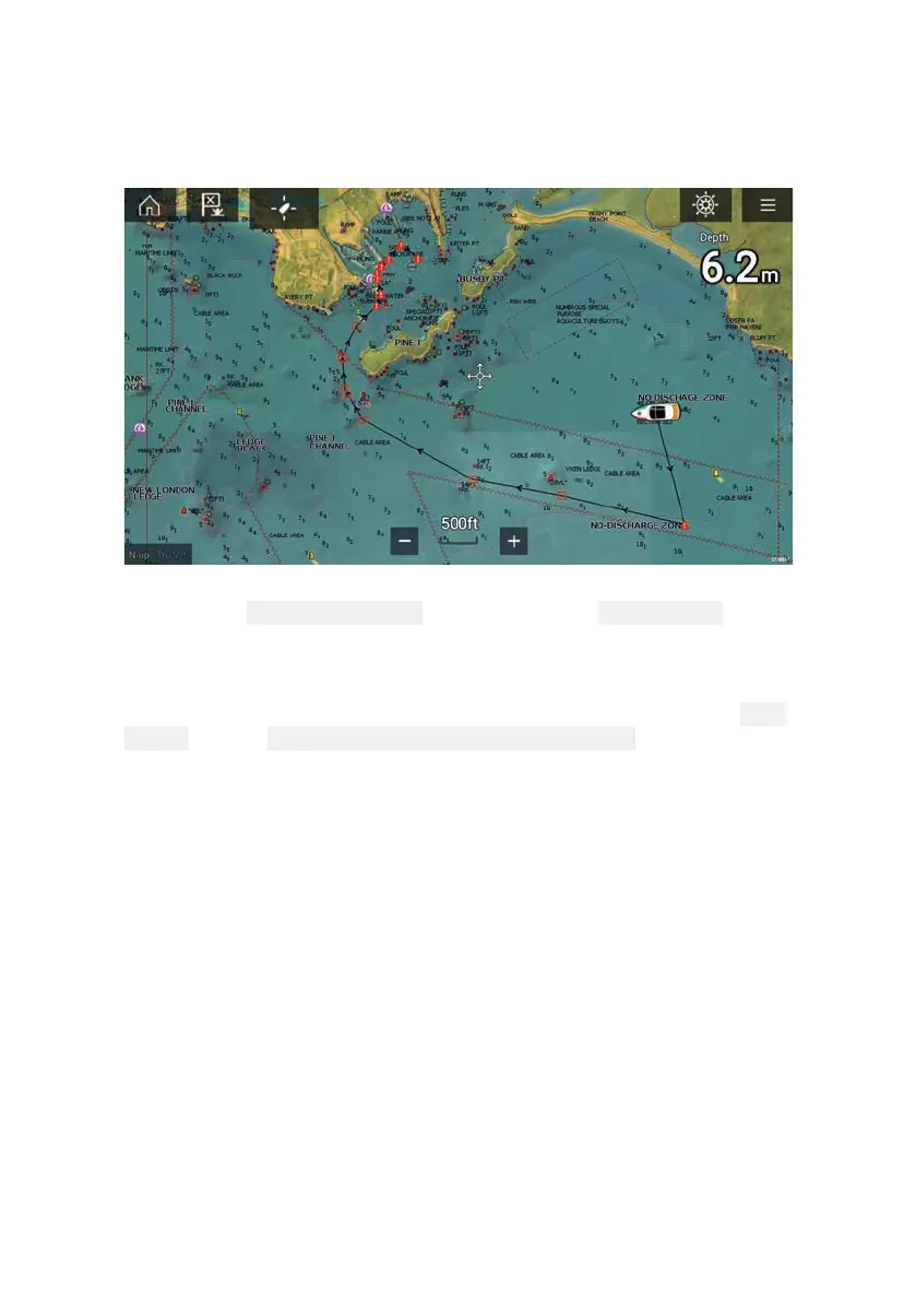
Reviewinganautomaticallygeneratedroute
Beforefollowinganyrouteyoumustensurethatitissafetodoso.
UponRoutecompletion:
1.RangeinoneachroutelegandwaypointthatmakeuptheRoute.
2.Checkeithersideoftheroutelegandaroundthewaypointfor
anypossibleobstructions.
Obstructionscanbechartedobjectsorrestrictedareas.Routes
generatedautomaticallyshouldusethecautionwaypointsymbol
inareaswheretherearepossibleobstructions.
3.Whereobstructionse xistmovethenecessarywaypointssothat
thewaypointandroutelegisnolongerobstructed.
 Loading...
