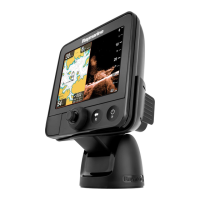
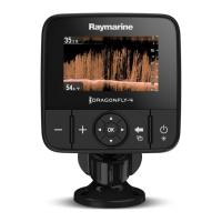
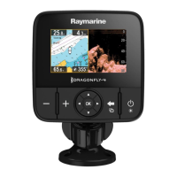
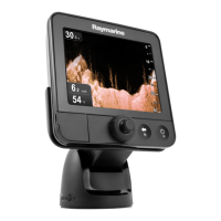
8.1Chartapplicationoverview
Thechartapplicationprovidesanelectronicchartwithnavigation
features.Ituses2Dperspectiveandprovidesavarietyof
cartographicinformationregardingyoursurroundingsand
chartedobjects.
Typicalusesforthechartapplicationinclude:
•Monitoryourvessellocationandcourseoverground(COG).
•Interpretyoursurroundings.
•Navigateusingwaypoints.
•Keeptrackandrecordyourcourse.
•Viewinformationforchartedobjects.
Note:T oobtainfullchartdetails,youmusthaveacartography
chartcardfortheappropriategeographicareainsertedinto
thecardreader.
Youcanalsocustomizethechartapplicationasfollows:
•Controlthelevelofdetaildisplayedon-screen.
•Changethewaythechartisdrawninrelationtoyourvessel
positionandthedirectionoftravel.
•DisplaytheCOGvector.
•Changethedepthatwhichthedeepwatercontourchanges
color.
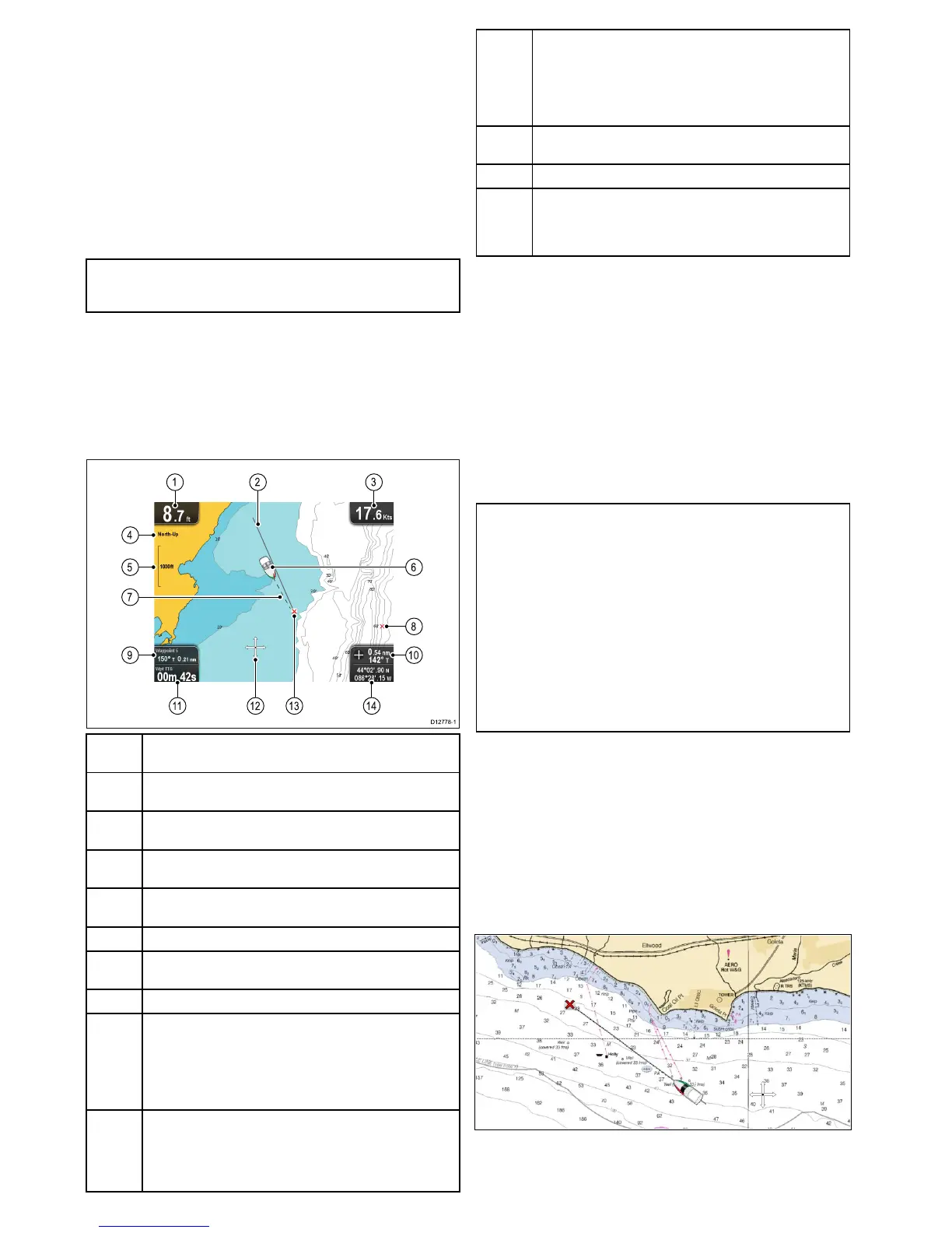
1
Depth—Currentwaterdepthbelowvessel(showninselected
systemunits).
2Navigationoriginline—Duringnavigation,showsasolidline
fromthestartingpointtothetargetwaypoint.
3
Speed—Currentvesselspeed(showninselectedsystem
units).
4
Orientation—Statestheorientationmodethatthechartis
using(North-up,orCourse-up).
5
Range—Chartscaleindicator(showninselectedsystem
units).
6
Vesselsymbol—Showsyourcurrentposition.
7
Vesselpositionline—Duringnavigation,showsadottedline
fromthevessel’scurrentpositiontothetargetwaypoint.
8Waypoint—Inactive.
9BearinganddistancetoWaypoint—Duringactivenavigation
displaysthedistanceandbearingtothetargetwaypoint(shown
inselectedsystemunits).
Watertemperature—Whennotinactivenavigationcurrent
watertemperatureisdisplayed(showninselectedsystem
units).
10
Bearing—Inmotionmodethevessel’scurrentCOGbearing
isdisplayed.
Bearinganddistance—Incursormodethedistanceand
bearingtothecursor’slocationisdisplayed(showninselected
systemunits).
11
WaypointTTG—Duringactivenavigationtheestimated‘time
togo’tothetargetwaypointbasedonyourcurrentspeedis
displayed.
Watertemperature—Whennotinactivenavigationcurrent
watertemperatureisdisplayed(showninselectedsystem
units).
12
Cursor—Usedtoselectchartobjectsandmovearoundthe
chartarea.
13
Targetwaypoint—Currenttargetwaypoint.
14Vesselcoordinates—Inmotionmodethecurrentvessel
coordinatesaredisplayed.
Cursorcoordinates—Incursormodethecoordinatesofthe
cursor’slocationisdisplayed.
Electronicchartsoverview
Yourmultifunctiondisplayincludesbasicworldbasemaps.
Electronicchartsprovideadditionalcartographicinformation.
Thelevelofcartographicdetailshownvariesfordifferentchart
types,geographiclocationsandchartscales.Thechartscale
inuseisindicatedbytheon-screenscaleindicator,thevalue
displayedisthedistancethatthelinerepresentsacrossthe
screen.
Youcanremoveandinsertchartcardsatanytime.Thechart
screenisautomaticallyredrawnwhenthesystemdetectsthata
compatiblechartcardhasbeeninsertedorremoved.
Usingadualviewpageitispossibletodisplaydifferent
cartographytypessimultaneously.
Caution:Careofchartandmemory
cards
Toavoidirreparabledamagetoand/orlossofdata
fromchartandmemorycards:
•DONOTsavedataorlestoacardcontaining
cartographyasthechartsmaybeoverwritten.
•Ensurethatchartandmemorycardsaretted
thecorrectwayaround.DONOTtrytoforcea
cardintoposition.
•DONOTuseametallicinstrumentsuchasa
screwdriverorplierstoinsertorremoveachart
ormemorycard.
LightHousecharts
WiththeintroductionoftheLightHouseIIsoftware,Raymarine
multifunctiondisplaysnowsupporttheuseofRaymarine’snew
LightHousecharts.
LightHousechartsarederivedfromvectorandrasterbased
charts,theLightHousechartengineenablesRaymarinetooffer
newcharttypesandregionsfromaroundtheglobe.
RefertotheRaymarinewebsite:forthelatestinformationon
availableLightHousecharts.
Rastercharts
Rasterchartsareanexactcopy/scanofanexistingpaper
chart.Allinformationisembeddeddirectlyinthechart.Ranging
inandoutofrasterchartswillmakeeverythingappearlarger
orsmalleronthescreen,includingtext.Whenchangingthe
48
Dragony/Dragony7
 Loading...