A
utorouting
Autoroutingisavailablewhenusingcompatiblecartography.Autoroutingallowsyoutobuildaroute
automaticallybetweenapointonthechartandyourvessel.
Y oucanselectanypointontheChartandfromtheChartcontextmenuselect Autoroutetohereor
youcanselect
Autoroutetofromanexistingwaypoint’scontextmenutocreatearouteautomatically
betweenyourvesselandthechosenpoint.
Thecreatedrouteisgeneratedbycomparingdataavailableonyourcartographyagainstthe
minimumsafedistancesspecifiedinthe Boatdetailsmenu:( Homescreen>Settings>Boatdetails).
Waypointswillnotbeplacedinareasthatconflictwithyourspecifiedminimumsafedistances.
Cautionsymbolsareusedforwaypointsthatarenearobjectsorrestrictedareas.
Neverfollowaroutebeforecheckingeachroutelegissafeforyourvessel.
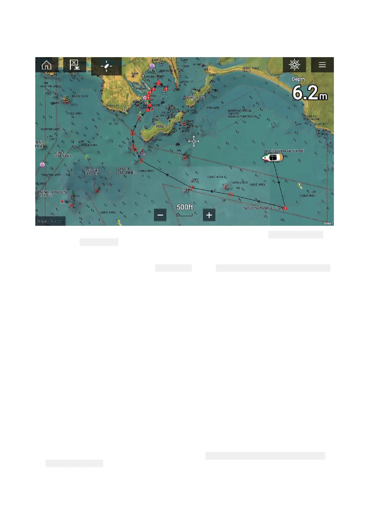
Reviewinganautomaticallygeneratedroute
Beforefollowinganyrouteyoumustensurethatitissafetodoso.
UponRoutecompletion:
1.RangeinoneachroutelegandwaypointthatmakeuptheRoute.
2.Checkeithersideoftheroutelegandaroundthewaypointforanypossibleobstructions.
Obstructionscanbechartedobjectsorrestrictedareas.Routesgeneratedautomaticallyshould
usethecautionwaypointsymbolinareaswheretherearepossibleobstructions.
3.Whereobstructionse xistmovethenecessarywaypointssothatthewaypointandroutelegis
nolongerobstructed.
Importingaroute
Y oucanimportroutescreatedinstandardgpxformat.
1.Saveyourroutetoamemorycard.
2.InsertthememorycardintoyourMFD.
3.SelectImportfromcardfromtheImport/exportpage:
Homescreen>Mydata>Import/export
>Importfromcard.
4.LocateandselectthegpxfilethatcontainsyourRoute.
TheRoutewillbeimportedtoyourMFD.
68
 Loading...