Garmin aera 500 Series Pilot’s Guide
190-01117-02 Rev. C
31
GPS Navigation
Overview GPS Navigation Flight Planning Hazard Avoidance Additional Features Appendices Index
SECTION 2 GPS NAVIGATION
2.1 INTRODUCTION
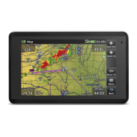
The Navigation Map displays aviation data (e.g., airports, VORs, airways, airspaces),
geographic data (e.g., cities, lakes, highways, borders), and topographic data (map
shading indicating elevation). The Navigation Map can be oriented three different
ways: North Up (NORTH UP), Track Up (TRK UP) or Desired Track Up (DTK UP).
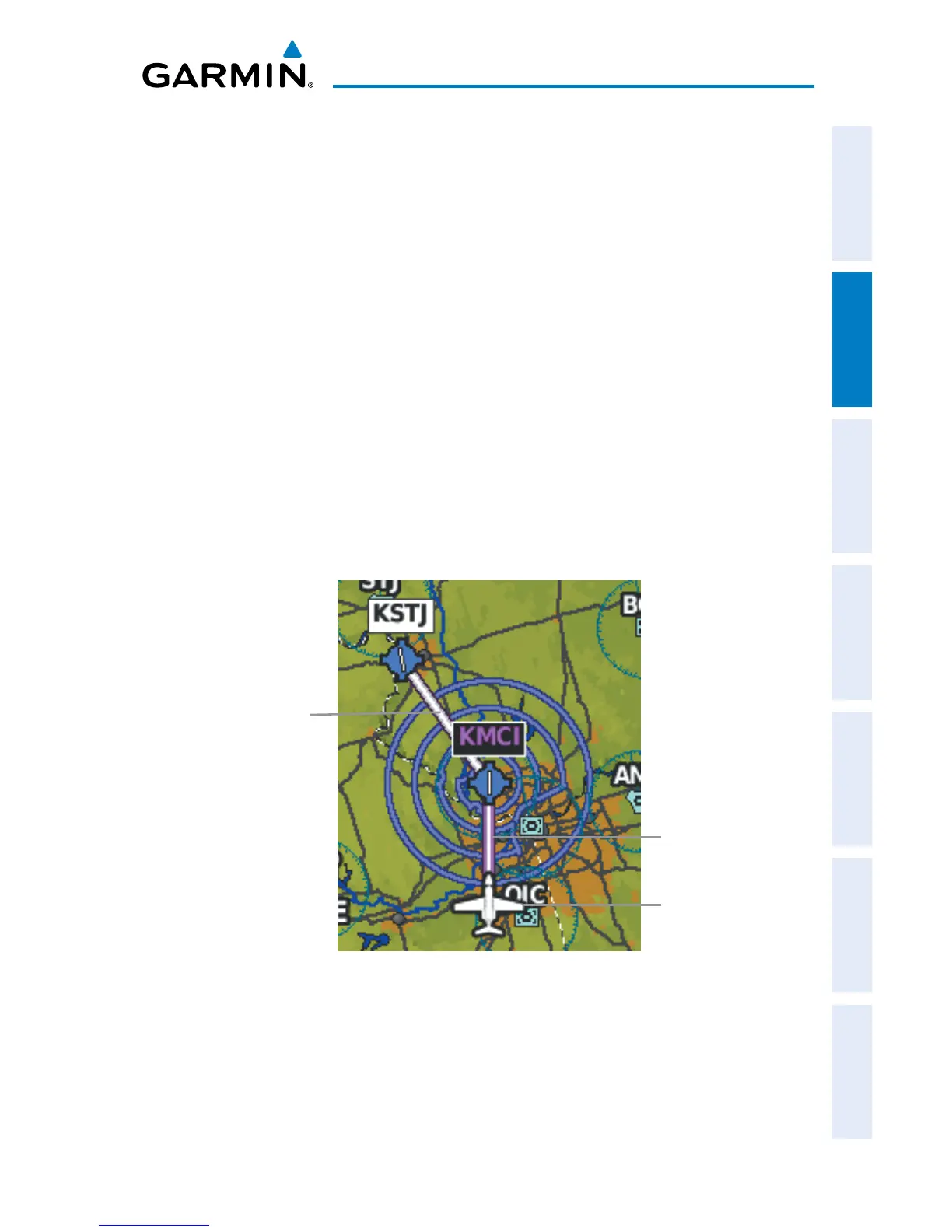
An aircraft icon is placed on the Navigation Map at the location corresponding
to the calculated present position. The aircraft position and the flight plan legs are
accurately based on GPS calculations. The basemap upon which these are placed are
from a source with less resolution, therefore the relative position of the aircraft to map
features is not exact. The leg of the active flight plan currently being flown is shown as
a magenta line on the navigation map. The other legs are shown in white.
Flight Plan Legs (Navigation Map)
Active Leg
(Magenta)
Inactive Leg
(White)
Aircraft Icon
 Loading...