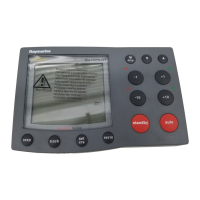
Pairingthekeypad
Thekeypadcancontrol1ormoremultifunction
displays.Multiplekeypadscanbeconnectedtoa
system.Eachkeypadcanbepairedwithupto4
multifunctiondisplays.
Withthekeypadconnectedtothemultifunction
display:
1.SelectExternalKeypadfromtheExternal
Devicesmenu:homescreen>Set-up>System
Settings>ExternalDevices>External
Keypad.
2.SelectPairKeypad.
3.Pressanybuttonontheexternalkeypad.
4.Fromthepop-upmessageselecttheorientation
ofthekeypad.
Eitherlandscapeorportraitorientationsare
available.
Thekeypadisnowpaired.
Unpairingthekeypad
Thekeypadcanbeunpairedfromanindividual
display.
1.SelectExternalKeypadfromtheExternal
Devicesmenu:homescreen>Set-up>System
Settings>ExternalDevices>External
Keypad.
2.SelectClearPairings.
3.SelectYestounpairthekeypadwiththedisplay.
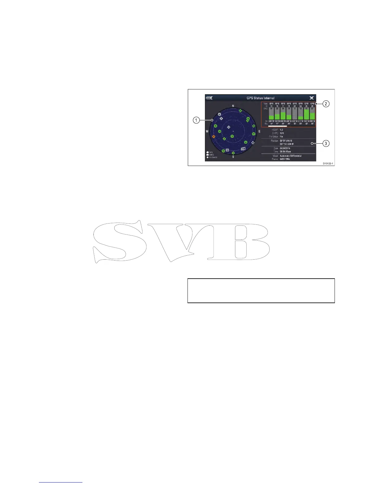
6.14GPSStatus
TheGPSstatuspageenablesyoutoviewthestatus
oftheavailablesatellitesthatarecompatiblewith
yourreceiver.
Thesatelliteconstellationsareusedtopositionyour
vesselintheChartandWeatherapplications.You
cansetupyourreceiverandcheckitsstatusfrom
theGPSSet-upmenu:Homescreen>Set-up>
SystemSettings>GPSSet-up.Foreachsatellite,
thescreenprovidesthefollowinginformation:
1.Skyview
2.Satellitestatus
3.Positionandxinformation
Skyview
Skyviewisavisualrepresentationthatshows
thepositionofnavigationsatellitesandtheirtype.
Satellitetypesare:
•Circle—Acircleidentiesasatellitefromthe
GPSconstellation.
•*Diamond—Adiamondidentiesasatellitefrom
theGLONASSconstellation.
•Square—Asquareidentiesan(SBAS)
differentialsatellite.
Note:GLONASSsatellitesareonlyavailable
whenconnectedtoacompatiblereceiversuchas
thebuilt-inreceiverofana9xora12xMFD.
Satellitestatusarea
TheSatellitestatusareadisplaysthefollowing
informationabouteachsatellite:
•Type—Identieswhichconstellationthesatellite
belongsto.
•ID—Displaysthesatellitesidenticationnumber.
•CNO(Carrier-to-noiseratio)—Displaysthesignal
strengthofeachsatelliteshownintheSkyview:
–Grey=searchingforsatellite
–Green=satelliteinuse
–Orange=trackingsatellite
•AzimuthandElevation—Providestheangleof
elevationandazimuthbetweenthelocationofthe
receiverandthesatellite.
Positionandxinformation
Thefollowingpositionalandxinformationis
provided:
•HorizontalDilutionofPrecision(HDOP)
—HDOPisameasureofsatellitenavigation
accuracy,calculatedfromanumberoffactors
104aSeries/cSeries/eSeries
 Loading...