1. OPERATIONAL OVERVIEW
1-27
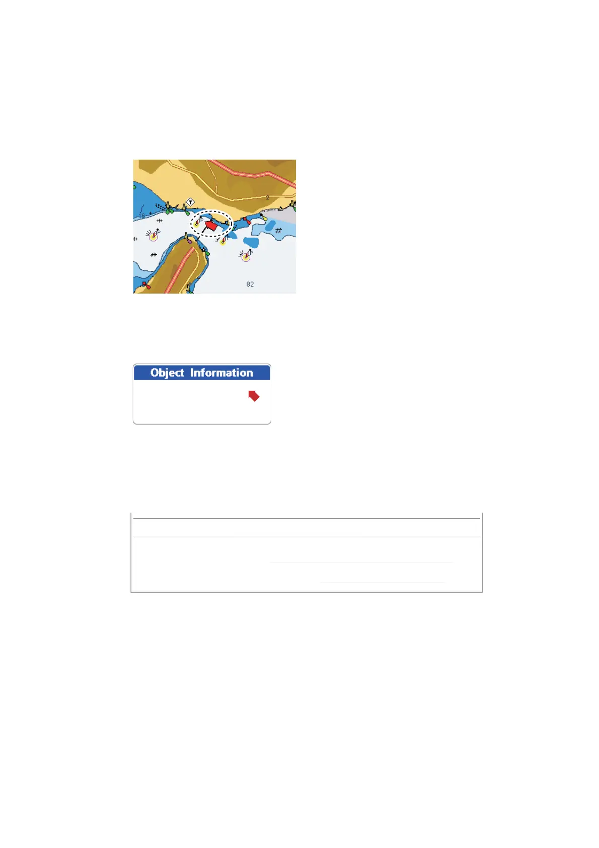
1.17.2 Tide stream information
The tidal stream information is made from the tide stream data received from tide
stream station.
Tidal streams are marked with arrows. The size and color of the arrow indicate tide
stream speed, Yellow, slow; orange, medium, and red, fast.
Simple and detailed tide stream information are available. For simple information, put
the cursor on a tide stream marker. The [Object Information] box shows the date, time
and direction and speed of the tide stream.
For detailed information, press the ENT key then select [FULL INFO] from the context
sensitive menu. [Tide stream station] is selected; see the information at the bottom of
the screen.
23-03-12 12:03:50 PM
DIR=302°T SPD=3.7 kn
Simple tide stream information
Tide stream station
3d Height meters: 0
Name: 34°37.40’N, 135°01.73’ E
Time zone: 9
 Loading...