6. MAP SETTINGS, 2D PERSPECTIVE/3D DISPLAYS AND SATELLITE OVERLAY
6-8
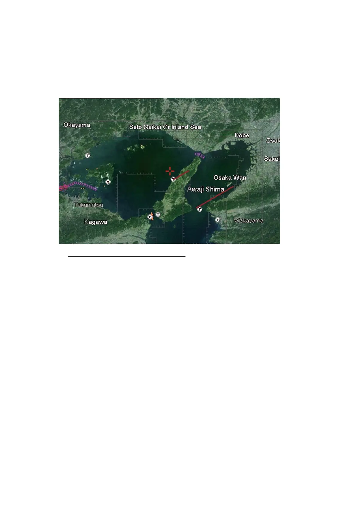
6.4 Satellite Photo Overlay
You can overlay the satellite photo for your area on the 2D and 3D displays. Open the
RotoKey menu then select [2D/3D Mode], [2D] or [3D] and [Vector/Satellite] to show
the satellite photo.
The illustration below shows the vector chart with the satellite photo overlay.
How to set the level of transparency
You can select the level of transparency for the parts of the satellite photo that are on
water. Open the [MAP] menu and select [CHART DISPLAY] and [TRANSPARENCY].
Set the level in three digits, from 0 to 100. The higher the number the greater the de-
gree of transparency.
 Loading...