EasyManua.ls Logo

Furuno GP-1670F User Manual

Furuno GP-1670F
209 pages
To Next Page IconTo Next Page
To Previous Page IconTo Previous Page
Page #49 background imageLoading...
Page #49 background image
3-1
3. POINTS
3.1 What is a Point?
In navigation terminology, a point is any location you mark on the plotter display. A
point can be a fishing spot, reference point and other important locations. You can use
a point you have entered to set a destination and create a route.
This unit has 30,000 points into which you can enter position information. There are
four methods that you can use to mark a point:
• At your current position
• At cursor position
• Enter position from the [Points List]
• Enter position manually on the screen
When you enter a point, the point is put on the screen with the point symbol selected
as the default point symbol, with the youngest empty point number. The position of the
point, symbol and navigation information (range, bearing, etc.) are saved to the [Points
List]. You can show or hide the points, and the default setting shows all points.
You can edit a point on the screen or on the [Points List].
3.2 How to Enter a Point
3.2.1 How to enter a point at the current position
A point may be entered at current position even when the menu is open. Press the
EVENT/MOB key. The symbol of the point is marked at the position at the time the
EVENT/MOB key was pressed. The point is automatically named.
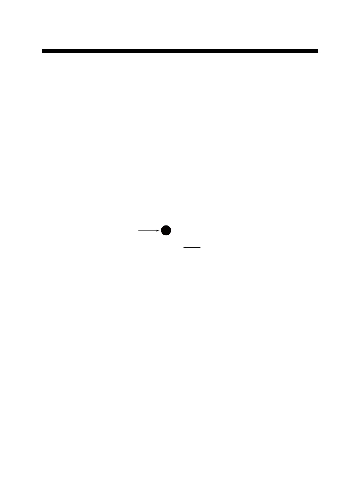
Point name
(default color: yellow)
Default point symbol
(default configuration
is a yellow circle)
PT00001

Table of Contents

Other manuals for Furuno GP-1670F

Questions and Answers:

Furuno GP-1670F Specifications

General IconGeneral
BrandFuruno
ModelGP-1670F
CategoryGPS
LanguageEnglish

Summary

Safety Instructions

Important Notices and General Precautions

General safety advice, handling instructions, and product disposal guidelines.

Critical Safety Warnings

Essential warnings and cautions for preventing injury or equipment damage.

Operational Overview

Controls

Detailed description of the unit's controls and buttons for operation.

RotoKeyTM and Soft Controls

Explanation of the RotoKeyTM and soft control functions and operation.

Power On/Off Operation

Step-by-step guide for powering the unit on and off.

2D Plotter Displays

Overview of the plotter's capabilities and map display features.

Home Screen Customization

Guide to selecting and customizing the home screen displays.

Menu Operation

How to navigate and operate the unit's menus.

Man Overboard (MOB) Function

Procedure for marking a man overboard position and related functions.

Track Operations

Track Display Management

How to show, hide, and manage the boat's recorded track.

Track Recording Settings

Instructions for starting, stopping, and configuring track recording parameters.

Points Management

Entering Points

Methods for marking and saving points on the plotter display.

Managing Points

How to move points, select visibility, search, sort, and filter points.

Route Operations

Creating Routes

Step-by-step guide to creating routes using menus and features.

Navigation Functions

Navigating to Points

How to navigate to quick points and saved points.

Navigating via Routes

How to select and start navigation along a chosen route.

Fish Finder Operations

Other Functions

AIS and DSC Operations

Understanding AIS target symbols and DSC message information.

Maintenance and Troubleshooting

Routine Maintenance Procedures

Regular checks and cleaning procedures for optimal equipment performance.

Fuse Replacement and Troubleshooting Guide

Instructions for replacing fuses and resolving common operational issues.

Installation

Display Unit Installation

Guidelines for mounting the main display unit on a tabletop or flush.

Antenna Unit Installation

Instructions for selecting a suitable location and mounting the GPS antenna unit.

Transducer Installation Methods

Methods for installing thru-hull, transom, and inside-hull transducers.

Wiring and Connections

Guide to connecting power cables, GPS antenna, and transducers.

Initial Settings and CAN Bus Configuration

Performing initial system setup and configuring CAN bus data.

Related product manuals