21.4Weathermapnavigation
Youcanmovearoundtheweathermapandplace
waypoints.
Whenyouopentheweatherapplication,aworld
mapisdisplayed.Ifthesystemhasapositionxfor
yourvessel,themapwillbecentredonyourlocation.
Asinthechartapplication,usethecursortomove
aroundthemapandviewdifferentlocations,andthe
RangeControltozoominandout.UsetheWPT
buttontoplacewaypoints.
Note:Waypointsarenotdisplayedintheweather
application,toviewwaypointsyouwillneedtohave
anactivechartapplicationorradarapplication
displayed.
Locatingyourvessel
Thevesseliconcanberepositionedtothecenterof
thescreenbyfollowingthestepsbelow.
1.SelecttheFindShipicon:locatedonthe
lefthandsideofthescreen.
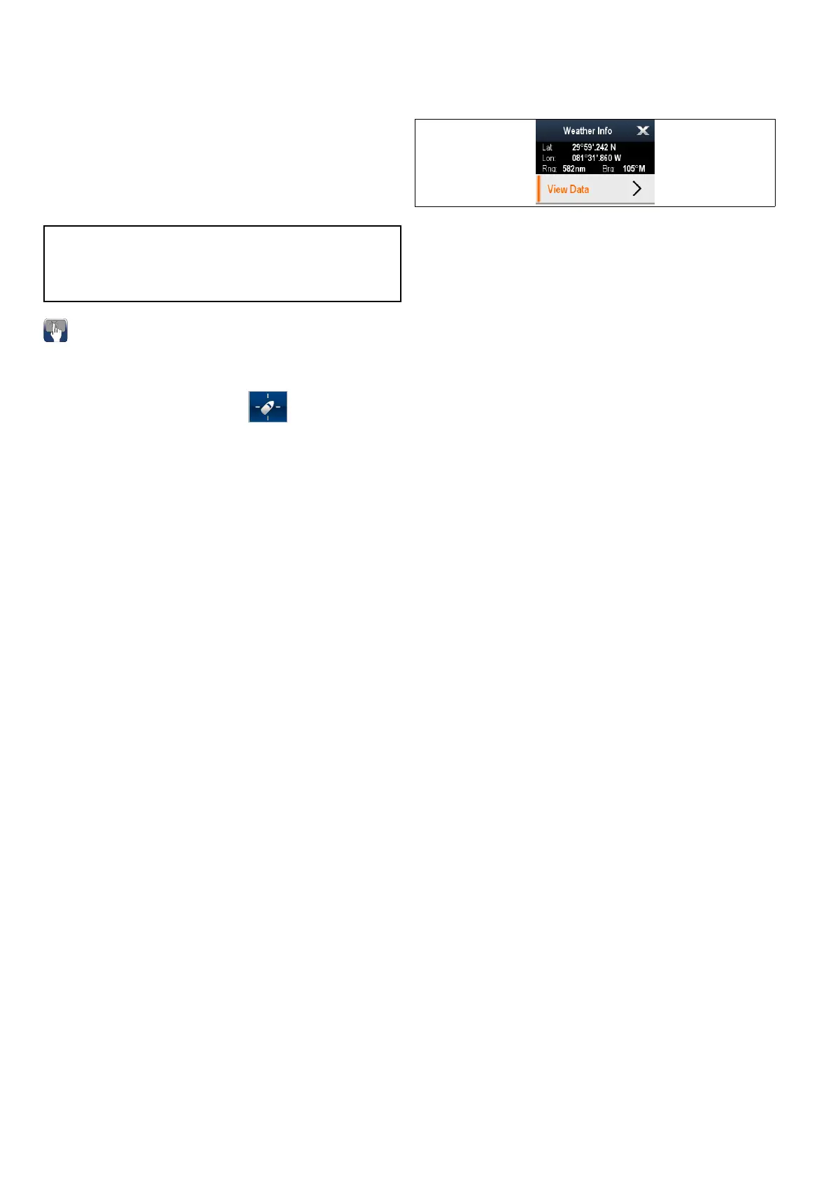
21.5Weathercontextmenu
Theweatherapplicationincludesacontextmenu
whichprovidespositionaldataandtheoptiontoview
weatherreportsfromthecursorlocation.
Thecontextmenuprovidesthefollowingpositional
dataforthecursorlocationinrelationtoyourvessel:
•Latitude
•Longitude
•Range
•Bearing
Dependingontheitemorlocationselectedonscreen
thecontextmenuprovidesthefollowingoptions:
•ViewReport—Onlyavailablewhenacityis
selected.
•ViewData—Notavailablewhenacityisselected.
•ViewFullReport—Onlyavailablewhenan
observationstationisselected.
Accessingthecontextmenu
1.Non-touchscreenandHybridTouchdisplays:
i.Movethecursorovertheareaorobjectand
pressingtheOkbutton.
2.HybridT ouchandT ouchonlydisplays:
i.Selectandholdonanareaorobject,or
ii.WiththeChartCall-outdisplayedselectthe
Call-outbox.
322
LightHousemultifunctiondisplayoperationinstructions
 Loading...