18.2Electronicchartsoverview
Yourmultifunctiondisplayincludesbasicworld
basemaps.Electronicchartsprovideadditional
cartographicinformation.
Thelevelofcartographicdetailshownvariesfor
differentcharttypes,geographiclocationsandchart
scales.Thechartscaleinuseisindicatedbythe
on-screenscaleindicator,thevaluedisplayedisthe
distancethatthelinerepresentsacrossthescreen.
Youcanremoveandinsertchartcardsatanytime.
Thechartscreenisautomaticallyredrawnwhenthe
systemdetectsthatacompatiblechartcardhas
beeninsertedorremoved.
Usingadualviewpageitispossibletodisplay
differentcartographytypessimultaneously.
Caution:Careofchartandmemory
cards
Toavoidirreparabledamagetoand/or
lossofdatafromchartandmemorycards:
•DONOTsavedataorlestoacard
containingcartographyasthecharts
maybeoverwritten.
•Ensurethatchartandmemorycards
arettedthecorrectwayaround.DO
NOTtrytoforceacardintoposition.
•DONOTuseametallicinstrumentsuch
asascrewdriverorplierstoinsertor
removeachartormemorycard.
LightHousecharts
WiththeintroductionoftheLightHouseIIsoftware,
Raymarinemultifunctiondisplaysnowsupportthe
useofRaymarine’snewLightHousecharts.
LightHousechartsarederivedfromvectorandraster
basedcharts,theLightHousechartengineenables
Raymarinetooffernewcharttypesandregionsfrom
aroundtheglobe.
RefertotheRaymarinewebsite:forthelatest
informationonavailableLightHousecharts.
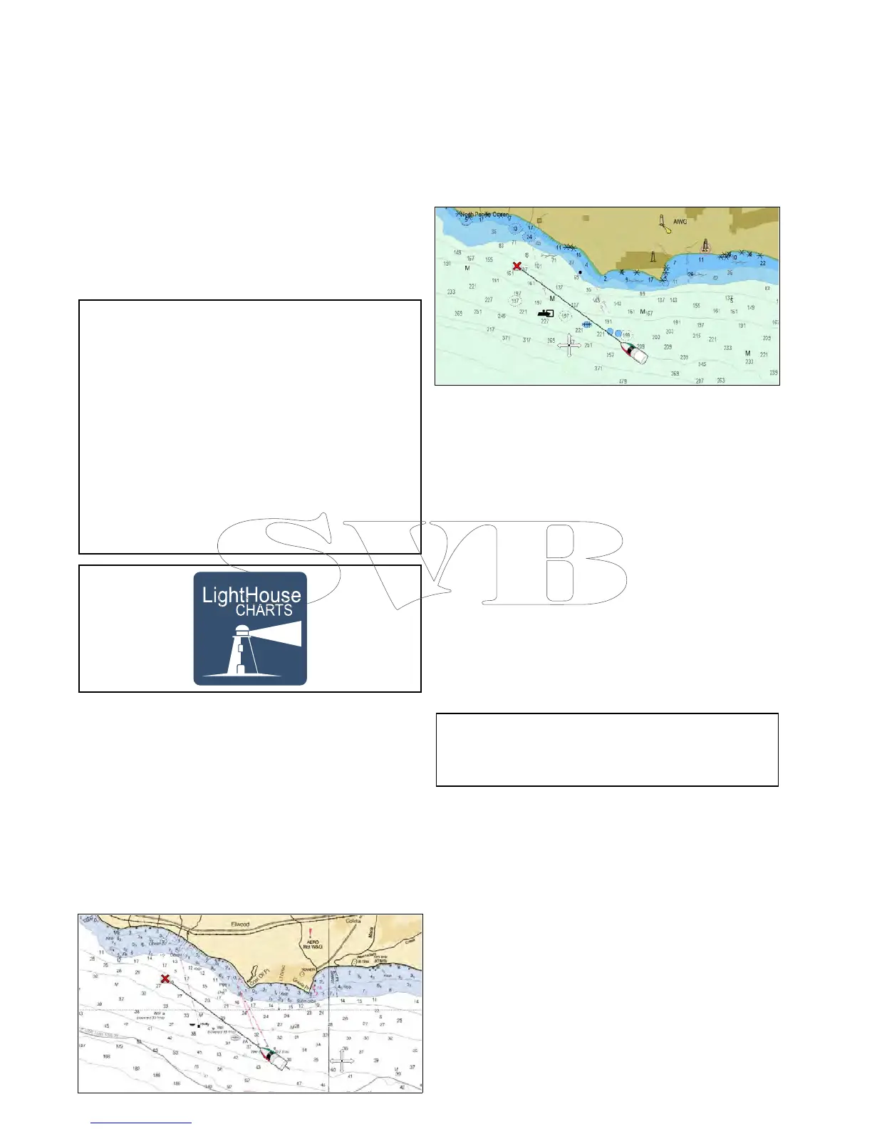
Rastercharts
Rasterchartsareanexactcopy/scanofanexisting
paperchart.Allinformationisembeddeddirectlyin
thechart.Ranginginandoutofrasterchartswill
makeeverythingappearlargerorsmalleronthe
screen,includingtext.WhenchangingtheChart
application’sorientationeverythingonthechartwill
rotate,includingthetext.Asrasterchartsarea
scannedimagethelesizeisnormallybiggerwhen
comparedtothevectorequivalent.
Vectorcharts
Vectorchartsarecomputergenerated,consisting
ofaseriesofpointsandlinesthatmakeupthe
chart.Chartobjectsandoverlaysonvectorcharts
canbeswitchedonandoffandchartobjectscan
beselectedtoprovidefurtherinformation.Ranging
inandoutofvectorchartswillmakegeographical
featuresappearlargerorsmalleronthescreen,
howevertextandchartobjectswillremainthesame
sizeregardlessofrange.WhenchangingtheChart
application’sorientationgeographicalfeatureswill
rotatebuttextandchartobjectswillremaininthe
correctorientationforthedisplay.Asvectorcharts
aregeneratedratherthanascannedimagethele
sizeisnormallysmallerwhencomparedtotheraster
equivalent.
DownloadingLightHouse
TM
charts
LightHouse
TM
chartscanbedownloadedthrough
theRaymarinewebsite.
Important:Youmustreadandagreeto
theLightHouse
TM
chartsEndUserLicense
Agreement(EULA)beforedownloadingandusing
LightHouse
TM
charts.
232aSeries/cSeries/eSeries

 Loading...


