Garmin aera 660 Pilot’s Guide
190-02017-20 Rev. E
121
Hazard Avoidance
Overview Navigation Flight Planning Hazard Avoidance Additional Features Appendices Index
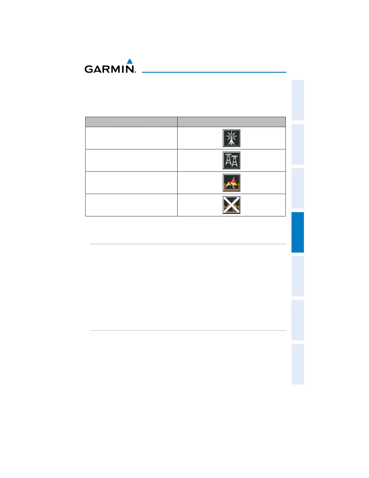
MAP STATUS ICONS
These icons will appear in the upper right corner of the map to show what obstacles
are represented on the map.
Description Icon
Point Obstacles such as buildings,
towers, and radio masts
Wire Obstacles such as power lines
Terrain shading is active with valid
GPS position
Terrain shading is active with invalid
GPS position
Map Status Icons
TERRAIN AND OBSTACLE COLOR CODE
Red—terrain or obstacle is above or within 100 feet below the aircraft.
Yellow—terrain or obstacle is between the user-defined Caution Elevation and 100
feet below the aircraft.
Enabling/Disabling Terrain Shading on the Navigation Map:
1)
From the Main Menu, touch Map.
2)
Touch Menu.
3)
Touch Terrain.
TERRAIN VIEWS
Enabling/disabling profile view:
1)
From the Main Menu, touch Terrain.
2)
Touch Menu.
3)
Touch Profile View.

 Loading...


