Garmin aera 660 Pilot’s Guide
190-02017-20 Rev. E
47
Navigation
Overview Navigation Flight Planning Hazard Avoidance Additional Features Appendices Index
Manually setting a course to the destination waypoint:
1)
From the Main Menu, touch 3D Vision.
2)
Touch CRS.
3)
Touch YES when the 'Set OBS and hold?' window appears.
4)
Select a course using the keypad and touch Enter.
Returning to only automatic sequencing when route is active (only
available when navigating a Direct-To or Flight Plan):
1)
From the Main Menu, touch 3D Vision.
2)
Touch CRS.
3)
Touch Release OBS Hold returns OBS to CRS, even though no
sequencing occurred (only when Direct-To is active).
2.3 VERTICAL NAVIGATION (VNAV)
The VNAV function provides settings for the vertical navigation. These settings create
a three-dimensional profile from the present location and altitude to a final (target)
altitude at a specified location.
When the VNAV profile is defined, the pilot is informed of the progress by message
alerts. The teal bar on the HSI (when displayed) shows the VNAV profile.
The Vertical Navigation feature is only available when navigating a Direct To or flight
plan, and the ground speed is greater than 35 knots.
The VNAV indicator is displayed and the 'Estimated Time to VNAV' (VNAV TIME) field
goes blank one minute prior to the initial descent point; if the VNAV alert messages are
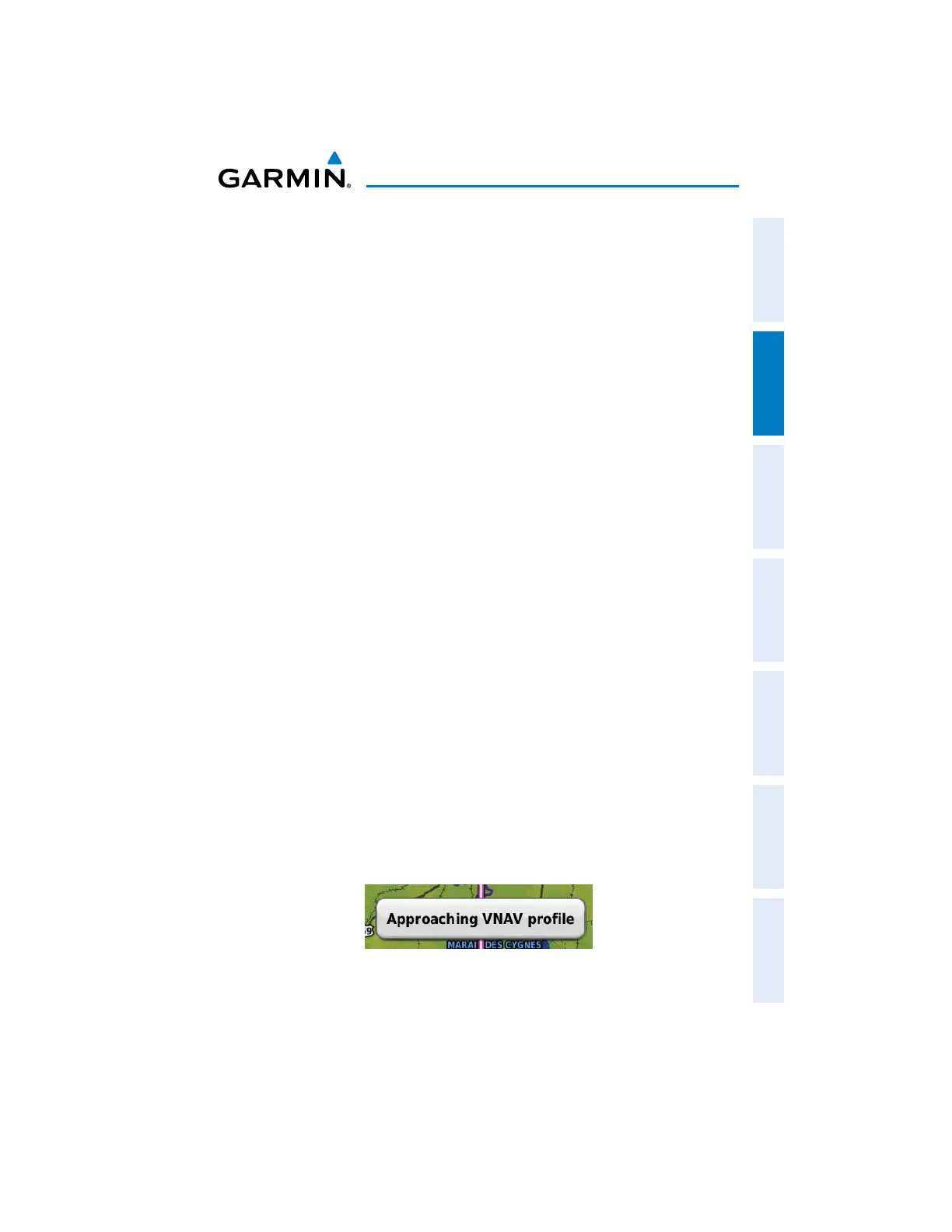
enabled, the 'Approaching VNAV profile' message appears.
The 'Approaching VNAV profile' message appears one minute prior to the initial
descent point. The descent angle locks to prevent changes in speed from altering the
profile. The VNAV feature does not take into account any changes in groundspeed that
occur during the transition from level flight to descent or climb.

 Loading...


