Garmin aera 660 Pilot’s Guide
190-02017-20 Rev. E
48
Navigation
OverviewNavigationFlight PlanningHazard AvoidanceAdditional FeaturesAppendicesIndex
At 500 ft above the target altitude, the VNAV indicator disappears from the altimeter;
if the VNAV alert messages are enabled, the 'Approaching VNAV target altitude'
message is displayed.
CAUTION: The aera 660 is a VFR navigation tool and should not be used to
perform instrument approaches.
CAUTION: VNAV is only a VFR navigation aid and is not intended for
instrument approaches.
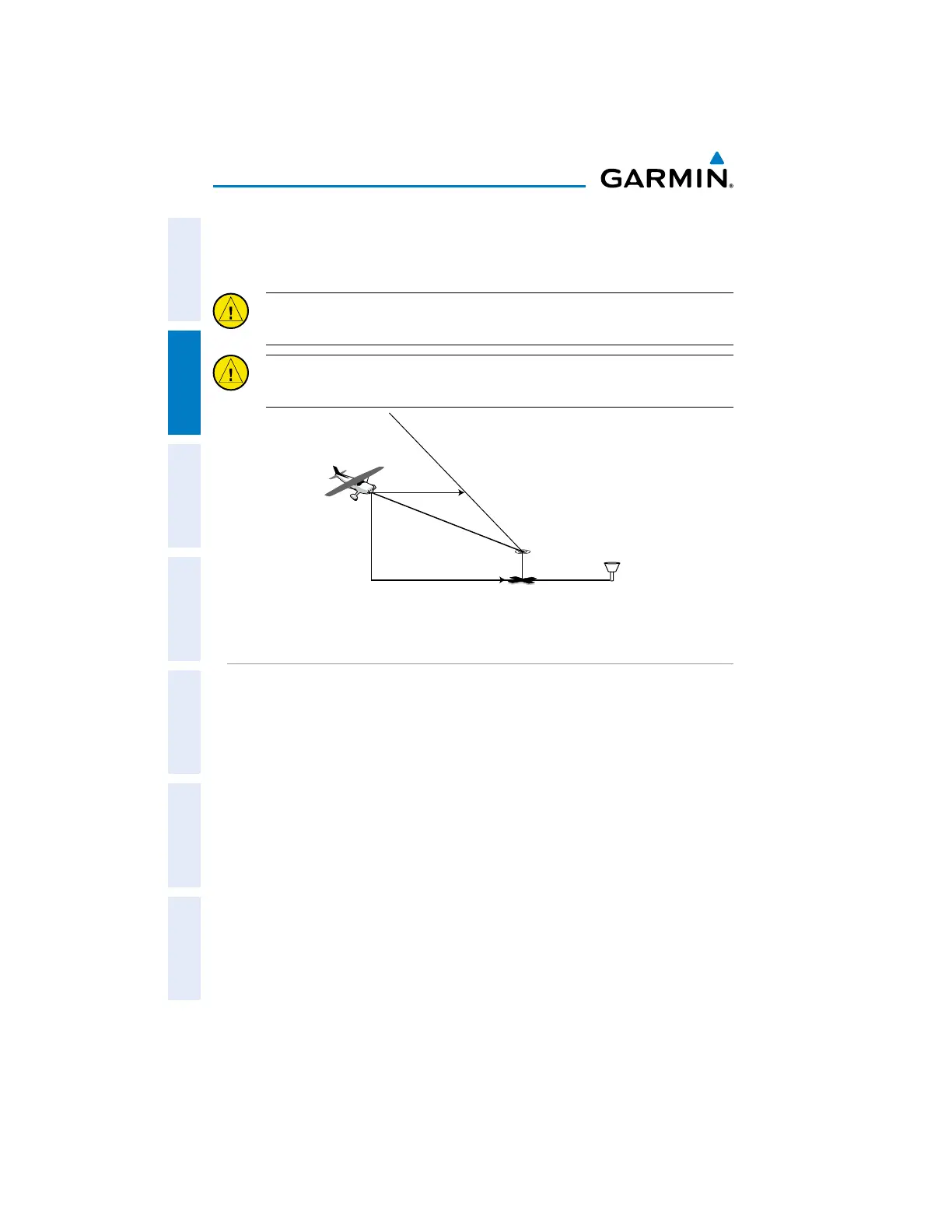
Visual Representation of VNAV
USING THE VNAV FEATURE
Use the VNAV (Vertical Navigation) feature to ensure the aircraft is at the proper
altitude. When the appropriate conditions for VNAV are met, the VNAV Indicator
displays as a teal pointer next to the altimeter. When the VNAV alert messages are
enabled, a message appears when approaching the VNAV Profile. When the teal
pointer is in the vertical center of the altimeter, the aircraft is at the proper altitude for
the VNAV Profile.

 Loading...


