Garmin aera 660 Pilot’s Guide
190-02017-20 Rev. E
59
Navigation
Overview Navigation Flight Planning Hazard Avoidance Additional Features Appendices Index
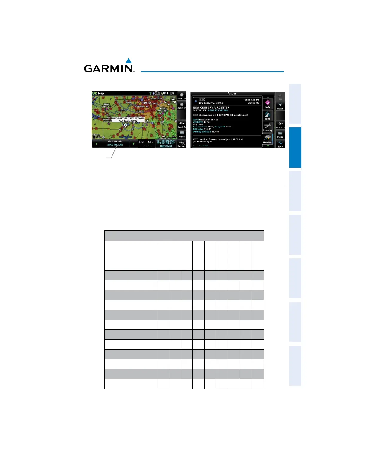
METAR Selected
Weather Information
Map
Feature
Button
ACCESSING ADDITIONAL INFORMATION
In addition to airport and weather information, additional information for VORs,
NDBs, Intersections, User Waypoints, Cities, ARTCCs, FSSs, and Airspace can be viewed
using the Waypoint Information function, the Nearest function, or the Map Panning
function.
Additional Information
Airport
VOR
NDB
Intersection
User Wpt
City
ARTCC
FSS
Airspace
Identifier
+ + + + +
Frequency
+ + + + + +
Name
+ + + + + +
City
+ + + + +
State
+ + + +
Type
+ + +
Morse Code
+ +
Radial
+
Region
+ + + + +
Bearing
+ + + + + + + +
Distance
+ + + + + + + + +
Lat/Long
+ + + + + +
 Loading...