Garmin aera 660 Pilot’s Guide
190-02017-20 Rev. E
Appendix H
206
OverviewNavigationFlight PlanningHazard AvoidanceAdditional FeaturesAppendicesIndex
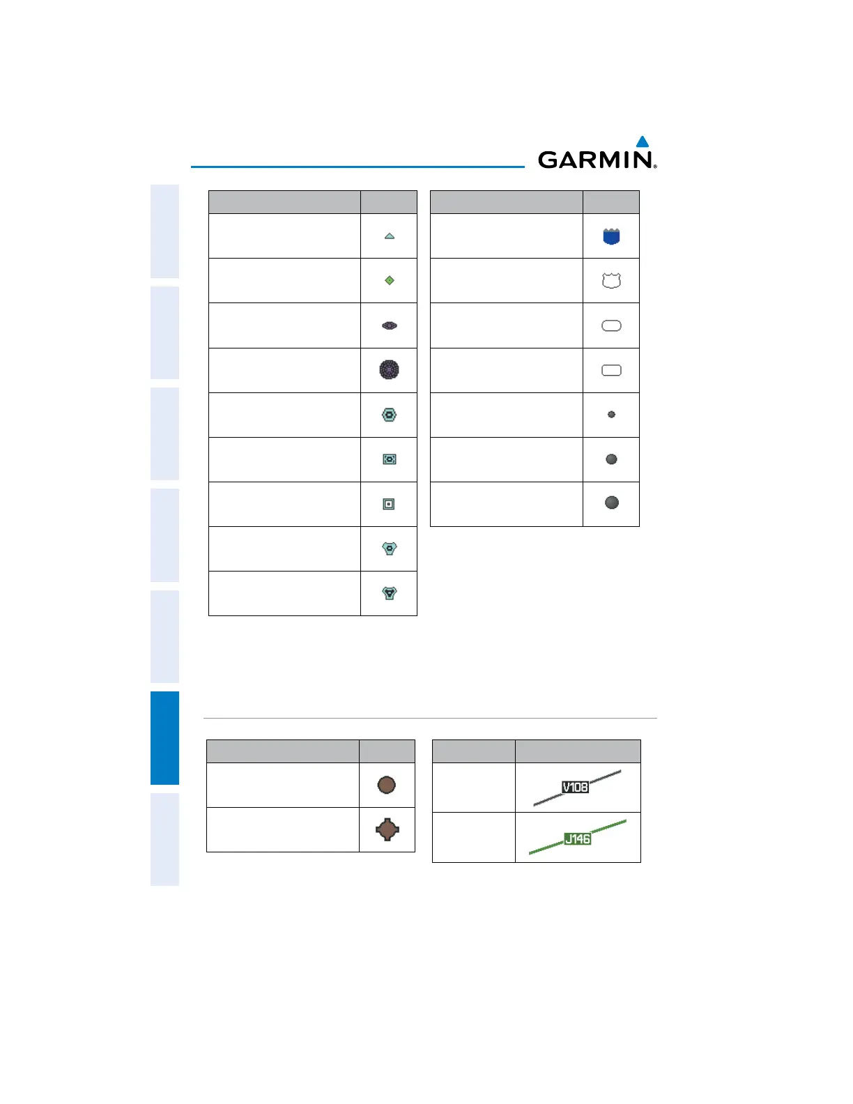
Item Symbol
Intersection
Visual Reporting Point
LOM (compass locator at
outer marker)
NDB (non-directional radio
beacon)
VOR
VOR/DME
ILS/DME or DME only
VORTAC
TACAN
Navaids
Item Symbol
Interstate Highway
US Highway
State Highway
National Highway
Small City
Medium City
Large City
Miscellaneous
IFR SYMBOLS
Item Symbol
VFR, Soft/unknown Surface,
Non-serviced
VFR, Soft/unknown Surface,
Serviced
Atlantic Database Airports
Item Symbol
Low-Altitude
High- Altitude
Airways
 Loading...