Garmin aera 660 Pilot’s Guide
190-02017-20 Rev. E
33
Overview
Overview Navigation Flight Planning Hazard Avoidance Additional Features Appendices Index
ADDITIONAL SETTINGS
Changing settings (Units, Time, Position, Interface, Alarms, Air-
space, and Power):
1)
From the Main Menu, touch Tools > Setup.
2)
Touch the desired Settings Icon (Units, Time, Position, Interface,
Alarms, Airspace, or Power).
3)
Touch the desired setting to change. Touch the desired setting from the
vertical list (if applicable).
Or
: Use the keypad to enter numerical values and touch Enter (if
applicable).
Or
: Touch On or Off to enable or disable a feature (if applicable).
4)
Touch and hold the Back Icon to return to the Main Menu.
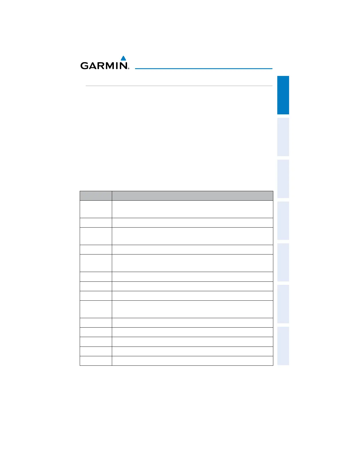
Icon Available Settings
Display
Display Orientation, Backlight Intensity, Backlight Timeout, Map Color
Mode, Chart Color Mode, Screenshot, Aircraft Position
Sound
Master Volume, Alert Volume, Message Volume, Terrain Audio, Key Tone
Units
Distance, Speed, Direction Display, Temperature, Altitude, Vertical Speed,
Pressure, Fluid Volume
Time
Time Format, Auto UTC Offset
Map
Autozoom, Orientation, Compass Arc, North Up Above, North Up On
Ground
Position
Location Format, Map Datum, Heading, Magnetic Variation
Interface
Serial Port, Serial Data Format
Alarms
Arrival, Next Waypoint, Proximity Waypoint, Fuel Tank Reminder
Airspace
Alarms
Class B/TMA, Class C/TCA, Class D, Restricted, MOA, Other/ADIZ,
Parachute Area
Weather
Weather Data Source setting
Bluetooth
Bluetooth setup
Connext
Connext settings
Wi-Fi
Wi-Fi setup
Power
Power Loss Warning

 Loading...


