Garmin aera 660 Pilot’s Guide
190-02017-20 Rev. E
19
Overview
Overview Navigation Flight Planning Hazard Avoidance Additional Features Appendices Index
1.5 USING MAP DISPLAYS
NOTE: Refer to the GPS Navigation section for more information on Map
Display Setup.
Map displays are used extensively in the aera 660 to provide situational awareness
in flight. Most aera 660 maps can display the following information:
s
Airports, NAVAIDs, airspaces, airways, land data (highways, cities, lakes, rivers,
borders, etc.) with names
s-AP 0OINTER INFORMATION DISTANCE AND BEARING TO POINTER LOCATION OF POINTER
name, and other pertinent information)
s-APRANGE
s!IRCRAFTICONREPRESENTINGPRESENTPOSITION
s&LIGHTPLANLEGS
s5SERWAYPOINTS
s4RACKVECTOR
s4OPOGRAPHYDATA
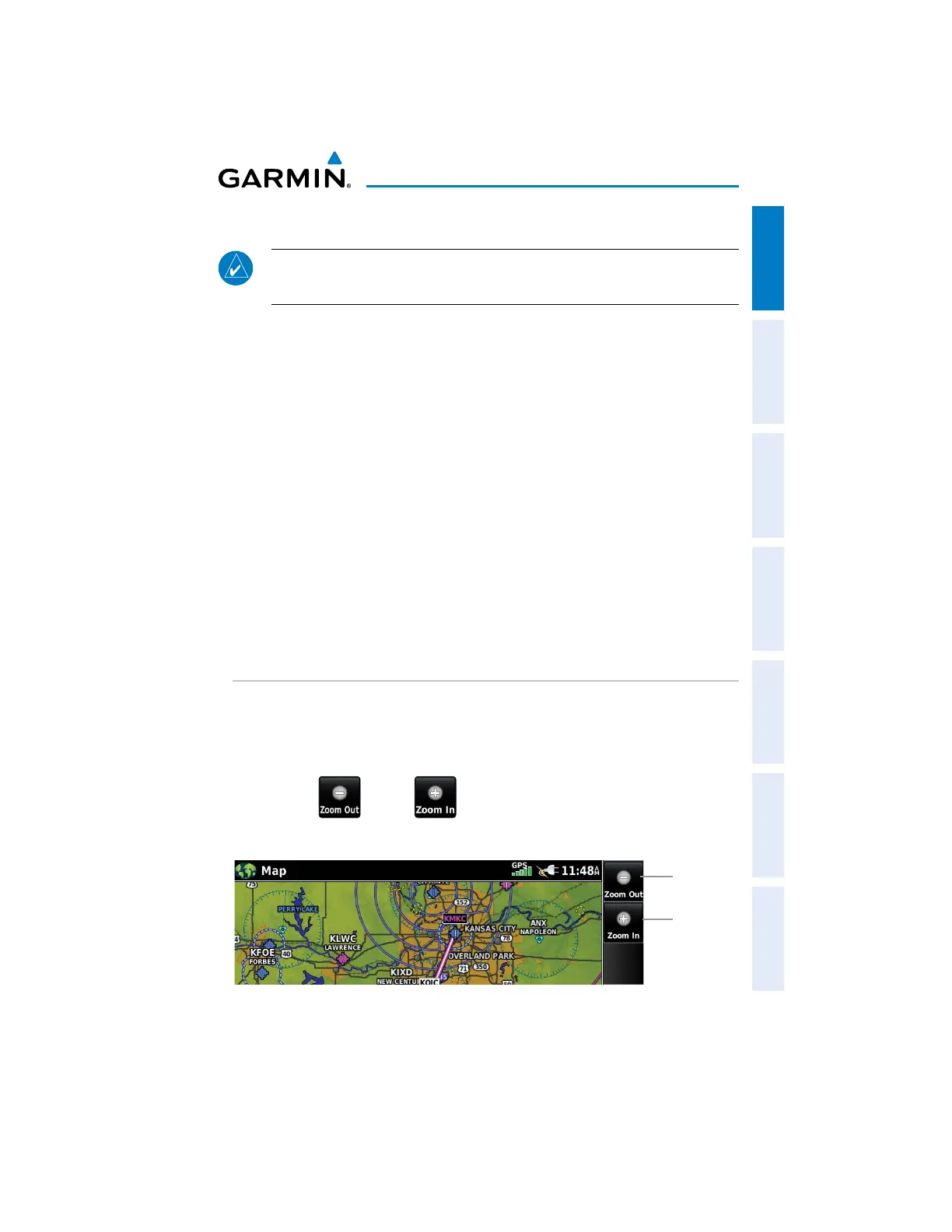
MAP RANGE
There are 23 different map ranges available, from 200 feet to 800 nm. The current
map range is indicated in the lower right. The scale bar represents the map scale.
Changing the map range:
Use the (out) or (in) icons to zoom ‘out’ (increasing), or zoom
‘in‘ (decreasing).
Zoom Out
Zoom In

 Loading...


