EasyManuals Logo

Garmin AERA 660 User Manual

Garmin AERA 660
244 pages
To Next Page IconTo Next Page
To Previous Page IconTo Previous Page
Page #26 background imageLoading...
Page #26 background image
Garmin aera 660 Pilot’s Guide
190-02017-20 Rev. E
10
Overview
OverviewNavigationFlight PlanningHazard AvoidanceAdditional FeaturesAppendicesIndex
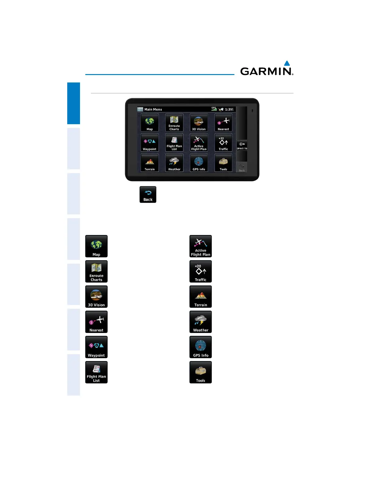
MAIN MENU
Touch and hold the
icon at any time to display the Main Menu.
MAIN MENU ICONS
Touch the following icons to display the associated page or menu:
Map Active Flight Plan
Displays the Map View. Displays the Active Flight Plan.
Charts Traffic
Displays the VFR or IFR charts. Displays the dedicated Traffic
Page.
3D Vision Terrain
Displays 3D Vision. Displays the Terrain View.
Nearest Weather
Displays the Nearest Page. Displays Weather Map Page.
Waypoint GPS Info
Displays Waypoint Information. Displays current position and
satellite status.
Flight Plan List Tools
Displays the Flight Plan List. Displays second-level Tools Icons.

Table of Contents

Other manuals for Garmin AERA 660

Questions and Answers:

Question and Answer IconNeed help?

Do you have a question about the Garmin AERA 660 and is the answer not in the manual?

Garmin AERA 660 Specifications

General IconGeneral
Display Resolution480 x 800 pixels
TouchscreenYes
Battery LifeUp to 4 hours
Voltage Range10-35 V
Display TypeWVGA color TFT
ConnectivityBluetooth
Preloaded MapsYes
Weather UpdatesYes
Traffic UpdatesNo
Receiver TypeGPS/GLONASS
Operating Temperature-4°F to 131°F (-20°C to 55°C)
Weather SupportYes
Traffic SupportNo

Related product manuals