Garmin aera 660 Pilot’s Guide
190-02017-20 Rev. E
Appendix G
195
Overview Navigation Flight Planning Hazard Avoidance Additional Features Appendices Index
APPENDIX G: UTILITIES
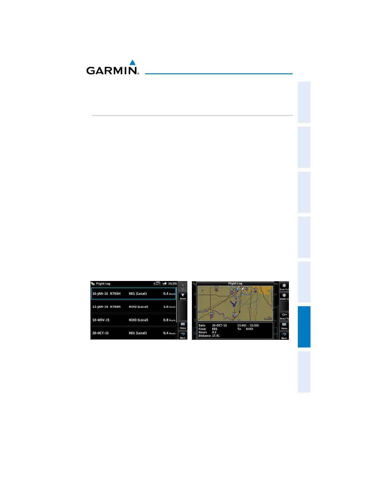
FLIGHT LOG
The Flight Log shows a list of any recorded flights, including date, route of flight,
and flight time. The aera 660 saves up to 50 recorded flights. Entries on this list are
automatically created for each flight.
Recording begins when your speed exceeds 30 knots and you gain 250 feet of
altitude. If you land and groundspeed drops below 30 knots, the flight entry is saved
and a new entry is recorded when you depart the airport. A touch-and-go or brief
stop of less than 10 minutes appends to the current flight record, rather than starting
a new entry.
VIEWING THE FLIGHT LOG
Select any listed entry in the log to view additional information, including a map
displaying the actual path flown.
Viewing details for a flight:
1)
From the Main Menu, touch Tools > Flight Log.
2)
Touch the desired flight log. Route, date, hours, distance, and the flight
path are displayed.
Flight Log

 Loading...


