Garmin aera 660 Pilot’s Guide
190-02017-20 Rev. E
35
Overview
Overview Navigation Flight Planning Hazard Avoidance Additional Features Appendices Index
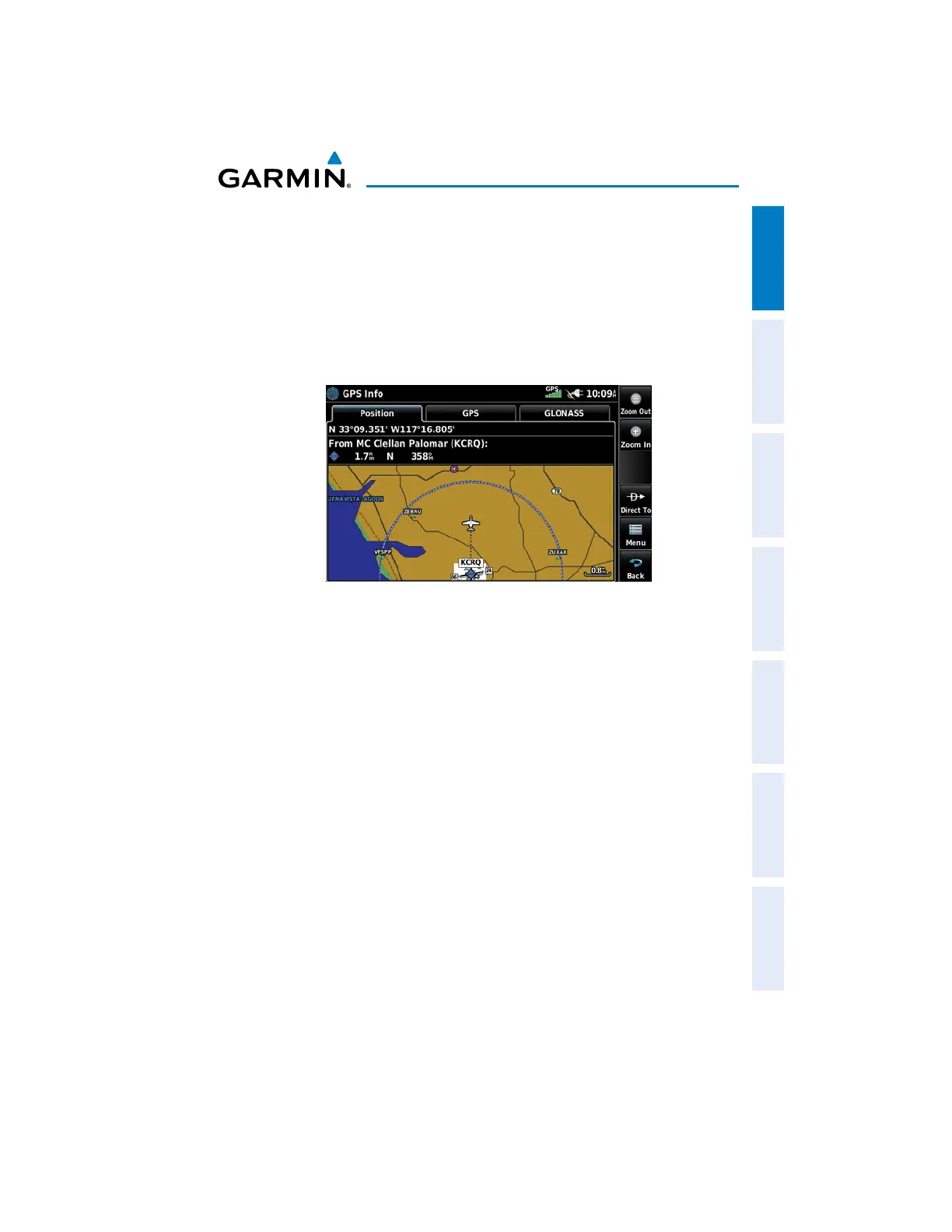
1.8 PRESENT POSITION
The Present Position function displays latitude, longitude, GPS altitude, reference
waypoint, type, distance, direction, and bearing. The reference waypoint is designed to
display the current position in relation to a prominent landmark. The pilot can change
the reference waypoint ‘Nearest Type’ using the ‘Change Nearest Type’ menu option.
By default the Nearest Type is set to ‘Automatic’, which will display the nearest large
airport, enroute VOR, or city (in that order).
Position
Changing the Nearest Type:
1)
From the Main Menu, touch GPS Info > Position Tab > Menu >
Change Nearest Type.
2)
Touch the desired nearest type ('Automatic', 'Airport', 'VOR', 'NDB',
'Intersection', 'City', or 'Waypoint').
Viewing the present position:
From the Main Menu, touch GPS Info > Position Tab.

 Loading...


