190-00962-04 Rev. A
Garmin G1000 Pilot’s Guide for the Diamond DA42NG
155
FLIGHT MANAGEMENT
SYSTEM
OVERVIEW
FLIGHT
INSTRUMENTS
EIS
AUDIO PANEL
& CNS
FLIGHT
MANAGEMENT
HAZARD
AVOIDANCE
AFCS
ADDITIONAL
FEATURES
APPENDICES INDEX
AIRWAYS
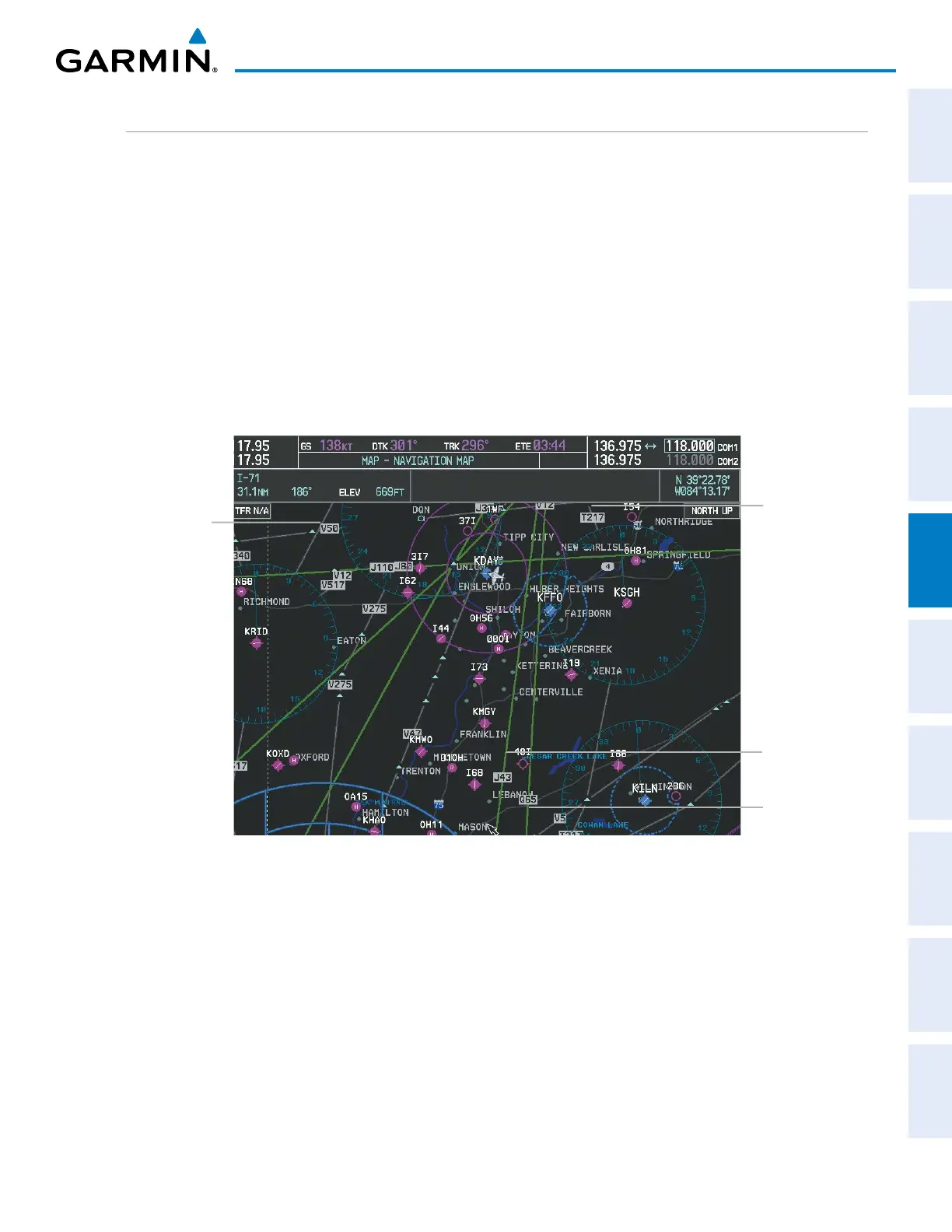
This airways discussion is based upon the North American airway structure. The airway structure in places
other than North America vary by location, etc. and are not discussed in this book. Low Altitude Airways
(Victor Airways or T-Routes) start 1,200 feet above ground level (AGL) and extend up to 18,000 feet mean sea
level (MSL). Low Altitude Airways are designated with a “V” or a “T” before the airway number.
High Altitude Airways (Jet Routes or Q-Routes) start at 18,000 feet MSL and extend upward to 45,000 feet
MSL. High Altitude Airways are designated with a “J” or a “Q” before the airway number.
Low Altitude Airways are drawn in gray (the same shade used for roads). High Altitude Airways are drawn
in green. When both types of airways are displayed, High Altitude Airways are drawn on top of Low Altitude
Airways.
When airways are selected for display on the map, the airway waypoints (VORs, NDBs and Intersections) are
also displayed.
Figure 5-22 Airways on MFD Navigation Map
Low Altitude
Airway
(Victor Airway)
High Altitude
Airway
(Jet Route)
Low Altitude
Airway
(T-Route)
High Altitude
Airway
(Q-Route)

 Loading...


