Garmin G1000 Pilot’s Guide for the Diamond DA42NG
190-00-00962-04 Rev. A
296
HAZARD AVOIDANCE
SYSTEM
OVERVIEW
FLIGHT
INSTRUMENTS
EIS
AUDIO PANEL
& CNS
FLIGHT
MANAGEMENT
HAZARD
AVOIDANCE
AFCS
ADDITIONAL
FEATURES
APPENDICESINDEX
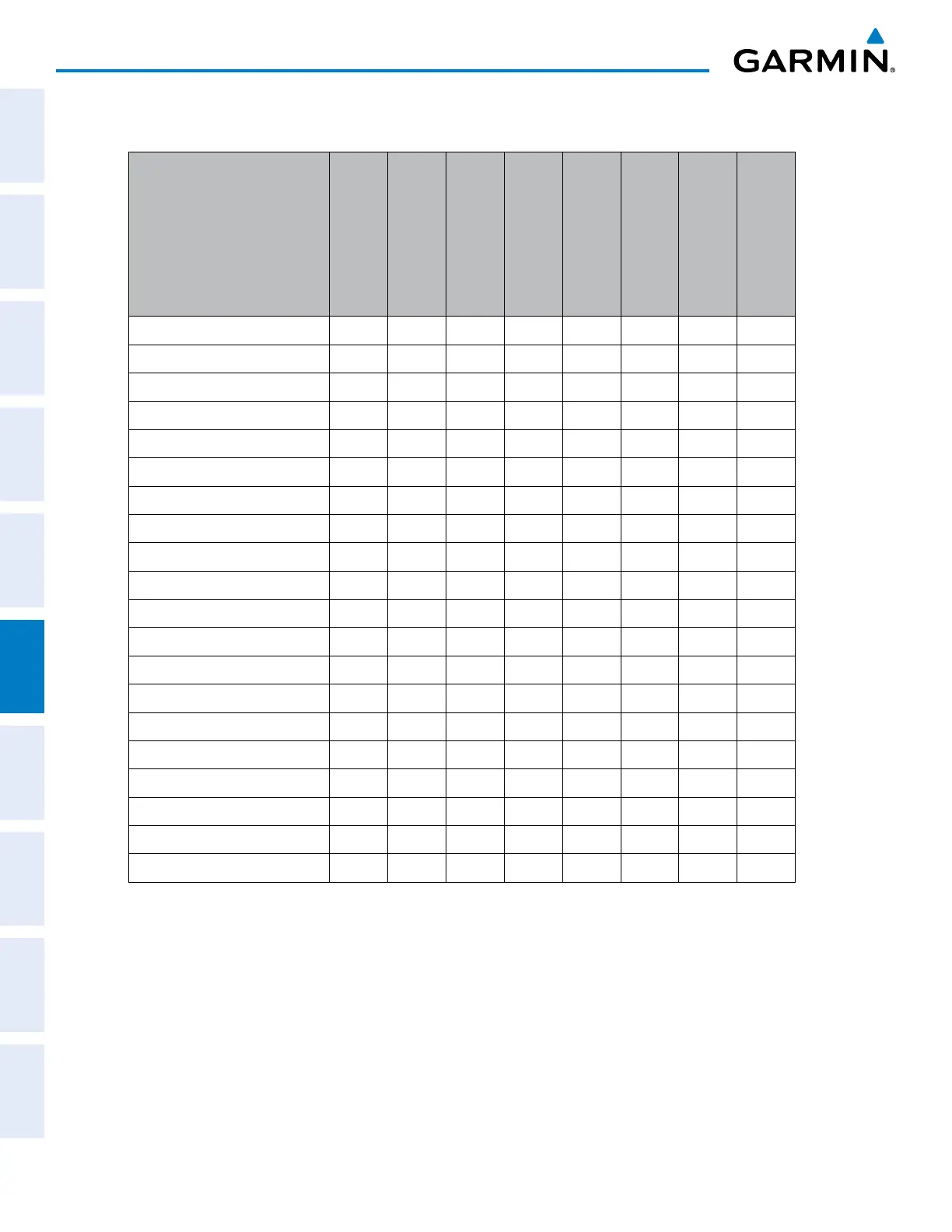
Table 6-2 shows which SiriusXM products can be displayed (indicated with a ‘+’ symbol) on specific maps.
SiriusXM Weather Product
PFD Inset Map
Navigation Map Page
Weather Data Link
(XM) Page
Weather Information
Page
AUX - Trip Planning
Page
AUX - Video Page
Nearest Page Group
Flight Plan Pages
NEXRAD + + + + + + +
Cloud Top (CLD TOP) +
Echo Top (ECHO TOP) +
SiriusXM Lightning (XM LTNG) + + + + + + +
Cell Movement (CELL MOV) + + + + + + +
SIGMETs/AIRMETs (SIG/AIR) +
METARs + + + + + + + +
City Forecast (CITY) +
Surface Analysis (SFC) +
Freezing Levels (FRZ LVL) +
Winds Aloft (WIND) +* +
County Warnings (COUNTY) +
Cyclone Warnings (CYCLONE) +
Icing Potential (ICNG) +
PIREPs + +
AIREPs + +
Turbulence (TURB) +
No Radar Coverage + + + + + + +
TFRs + + + + + + + +
TAFs +
* Winds Aloft data is available inside Profile View when enabled on the Navigation Map Page.
Table 6-2 Sirius Weather Product Display Maps
 Loading...


