12-2
GTN 725/750 Pilot’s Guide
190-01007-03 Rev. C
Foreword
Getting
Started
Audio &
Xpdr Ctrl
Com/Nav
FPL
Direct-To
Proc
Charts
Wpt Info
Map
Traffic
Terrain
Weather
Nearest
Services/
Music
Utilities
System
Messages
Symbols
Appendix
Index
WARNING: Do not use data link weather information for maneuvering in,
near, or around areas of hazardous weather. Information contained within
data link weather products may not accurately depict current weather
conditions.
NOTE: Do not rely solely upon data link services to provide Temporary Flight
Restriction (TFR) information. Always confirm TFR information through
official sources such as Flight Service Stations or Air Traffic Control.
12.1
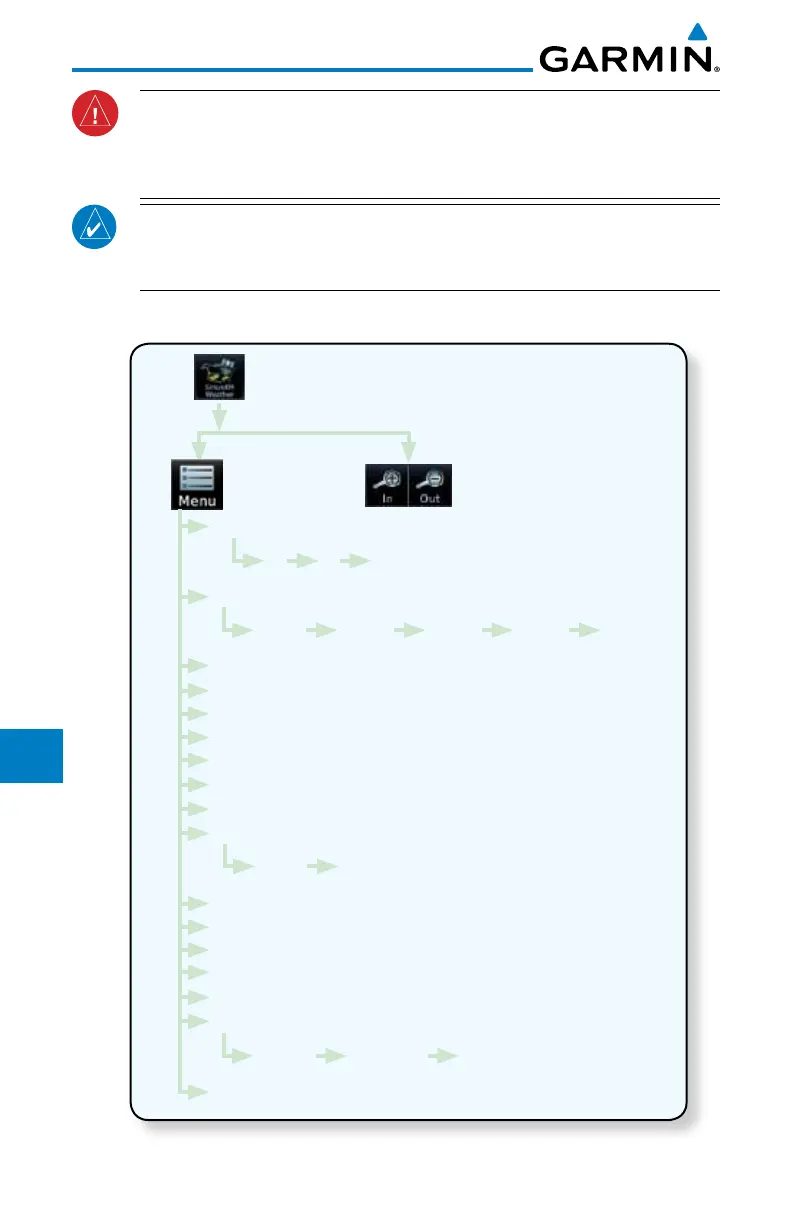
SiriusXM Weather Products (Optional)
NEXRAD
WX Forecast
Lightning
Echo Tops
Cloud Tops
METAR
Cell Movement
AIREP/PIREP
County Warnings
Winds Aloft
SIGMET/AIRMET
Freezing Level
Icing
Turbulence
Cyclone
Orientation
Legend
Off US Canada
Current 12 Hour 24 Hour 36 Hour 48 Hour
Track Up Heading Up North Up
Surface 3000 ft ... 45,000 ft
Figure 12-3 SiriusXM Weather Functional Diagram

 Loading...


