12-26
GTN 725/750 Pilot’s Guide
190-01007-03 Rev. C
Foreword
Getting
Started
Audio &
Xpdr Ctrl
Com/Nav
FPL
Direct-To
Proc
Charts
Wpt Info
Map
Traffic
Terrain
Weather
Nearest
Services/
Music
Utilities
System
Messages
Symbols
Appendix
Index
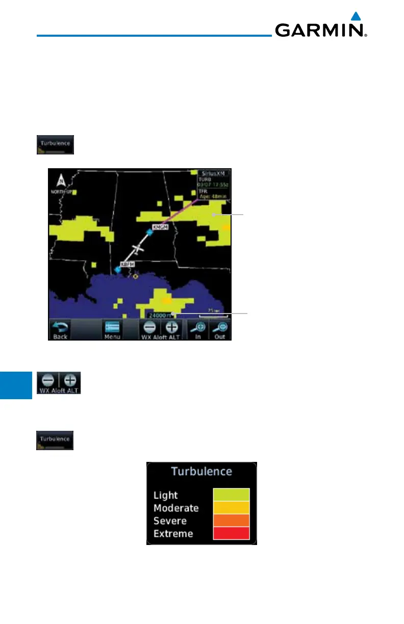
12.1.18 Turbulence
Turbulence data identifies the potential for erratic movement of high-altitude
air mass associated winds. Turbulence is classified as light, moderate, severe
or extreme, at altitudes between 21,000 and 45,000 feet. Turbulence data is
intended to supplement AIRMETs and SIGMETs.
1. While viewing the Weather Data Link menu, touch the
Turbulence key.
Turbulence Shading
Selected Turbulence Altitude
Figure 12-36 Turbulence
2. Touch the WX Aloft ALT – or + keys to increase or decrease
the reporting altitude for turbulence in 3,000 foot increments.
The selected altitude is shown in a window above the altitude
keys.
3. Touch the Turbulence key again to turn it off.
Figure 12-37 Turbulence Legend

 Loading...


