2-1
2. PLOTTER
This chapter shows you how to do the following:
• Use and prepare the plotter display
• Set plotter related alarms
• Control the track
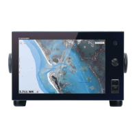
2.1 Chart Type
A world map in raster chart format is included in your unit. A vector chart for the US
coastline (Alaska and Hawaii included) is provided also. To use this plotter as a navi-
gational aid, have electronic charts (stored in the hard disk) for the area you navigate.
Contact your dealer about charts for your area.
There are two types of charts available with this equipment.
[Raster]: Raster charts are digitized scans of NOAA paper charts. Raster charts have
information like notes, source diagrams, tidal diamonds, horizontal and vertical datum,
etc.
[HO]: HO charts are S-57 format vector charts (digital files) that contain marine fea-
tures and information created for marine navigation. These charts are made according
to the International Hydrographic Organization (IHO). HO charts are available from
Jeppensen, Navionics, Mapmedia, and NOAA (National Oceanic and Atmospheric
Administration).
How to select a chart type
1. Select the plotter display.
2. Open the [Layers] menu.
3. Tap the chart type from among [Auto], [Raster] or [HOs].
*: [Auto] automatically switches the chart type according to chart availability and prior-
ity.

 Loading...