Garmin G300 Pilot’s Guide
190-00921-00 Rev. D 85
GPS Navigation
System
Overview
Flight
Instruments EIS
COM
Interface
GPS
Navigation
Flight
Planning
Hazard
Avoidance
Additional
Features
Integrated
Autopilot Annun/Alerts Appendix Index
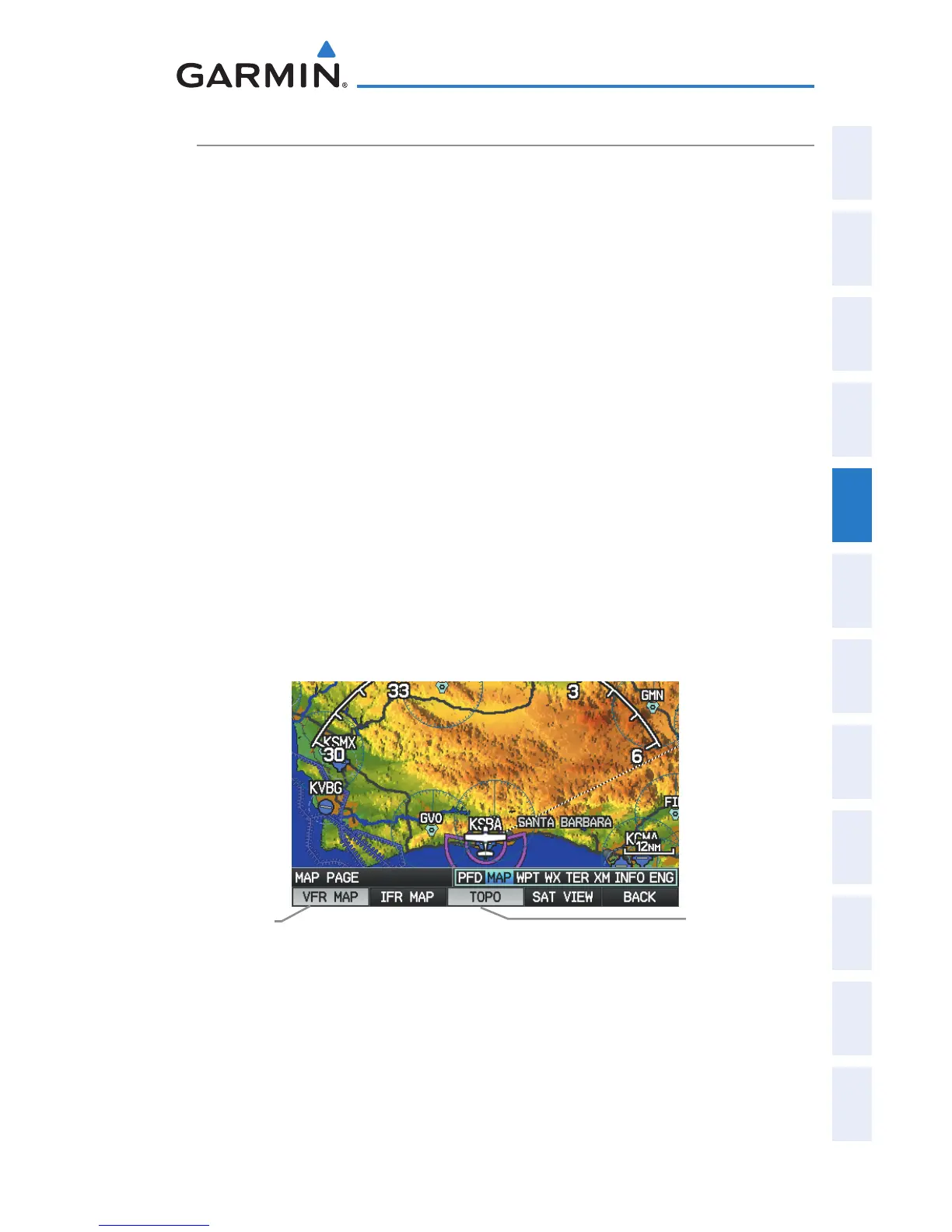
TOPOGRAPHY
Topographic data can be displayed or removed as described in the following
procedures.
Displaying/removing topographic data:
1)
Press the MAP Softkey on the Map Page. Press the VFR MAP Softkey
(if necessary).
2)
Press the TOPO Softkey. Topographic data is displayed.
3)
Press the TOPO Softkey again to remove topographic data from the
Navigation Map.
Or
:
1)
From the Map Page, press the MENU Key.
2)
Turn or move the FMS Joystick to highlight ‘Set Up Map’, and press the
ENT Key.
3)
Turn the FMS Joystick to highlight the ‘Map’ Category from the
horizontal list.
4)
Move the FMS Joystick to highlight the ‘Topo Shading’ field.
5)
Turn the FMS Joystick to select ‘On’ or ‘Off’, and press the ENT Key.
Topographic Data (Map Page)
(Single Display)
TOPO Softkey
VFR MAP
Softkey

 Loading...


