Garmin G300 Pilot’s Guide
190-00921-00 Rev. D 81
GPS Navigation
System
Overview
Flight
Instruments EIS
COM
Interface
GPS
Navigation
Flight
Planning
Hazard
Avoidance
Additional
Features
Integrated
Autopilot Annun/Alerts Appendix Index
MAP RANGE
NOTE: Refer to the Additional Features section for information on changing
the
FliteCharts
®
range.
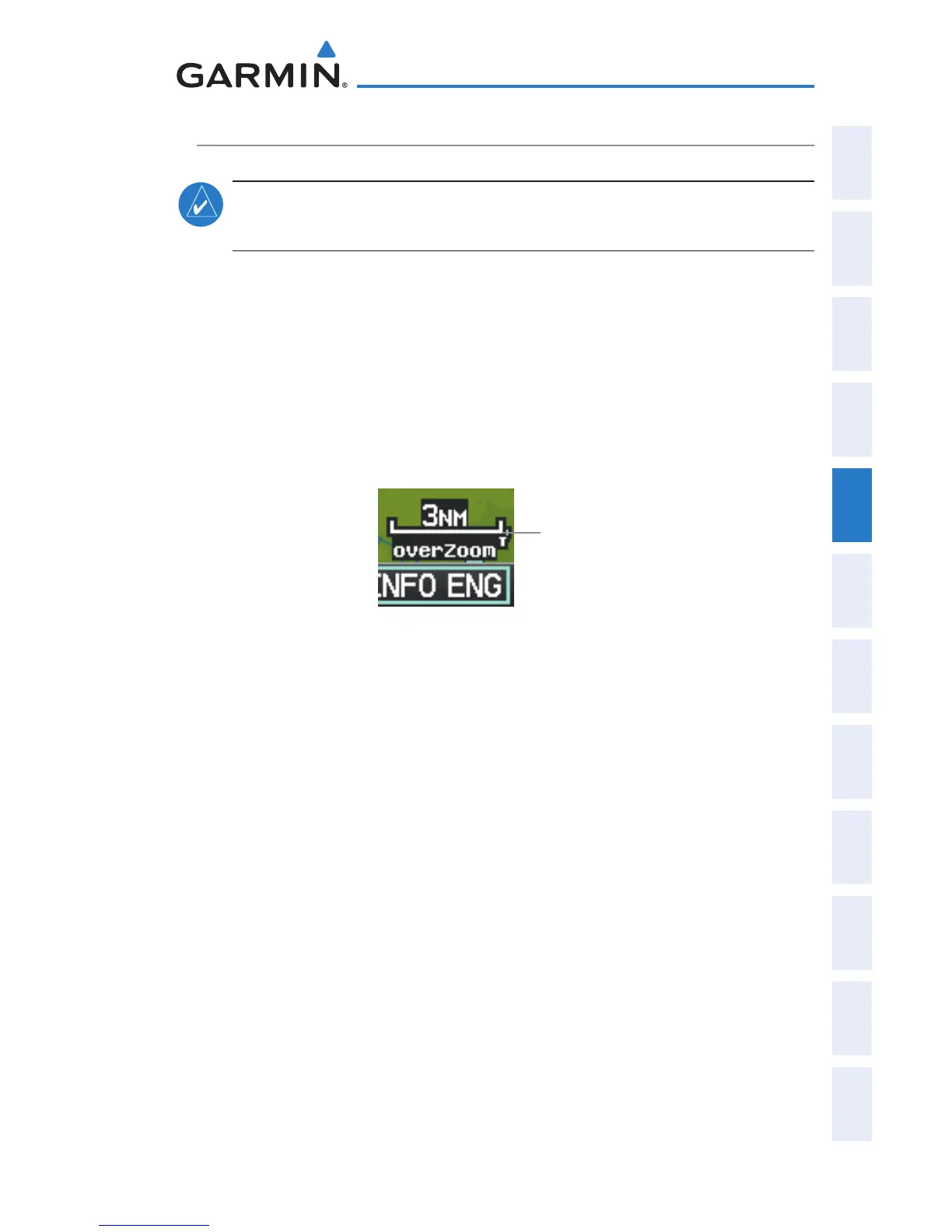
There are 23 different map ranges available, from 200 feet to 800 nm. The
current range is indicated in the lower right corner of the map. The scale bar
represents the map scale. To change the map range on any map, use the down
arrow on the RNG Key to zoom in (decreasing), or the up arrow to zoom out
(increasing).
When the selected range exceeds the resolution of the map data, ‘overzoom’
appears below the map range scale.
Map Range/Overzoom
(Single Display)
Scale Bar Rep-
resenting a Map
Scale of 3.0
nm Per Scale
Width.
Enabling/disabling autozoom:
1)
With the Map Page displayed, press the MENU Key.
2)
Turn or move the FMS Joystick to highlight ‘Set Up Map’ and press the
ENT Key.
3)
Turn the FMS Joystick to highlight the ‘General’ Menu.
4)
Move the FMS Joystick to highlight the ‘Autozoom’ field.
5)
Turn the FMS Joystick to access the ‘On/Off’ drop down list.
6)
Turn or move the FMS Joystick to highlight the desired option, and
press the ENT Key.

 Loading...


