Garmin G300 Pilot’s Guide
190-00921-00 Rev. D
160
Additional Features
System
Overview
Flight
InstrumentsEIS
COM
Interface
GPS
Navigation
Flight
Planning
Hazard
Avoidance
Additional
Features
Integrated
AutopilotAnnun/AlertsAppendixIndex
ZERO PITCH LINE
The Zero Pitch Line is drawn completely across the display and represents the
aircraft attitude with respect to the horizon. It may not align with the terrain
horizon, particularly when the terrain is mountainous or when the aircraft is flown
at high altitudes.
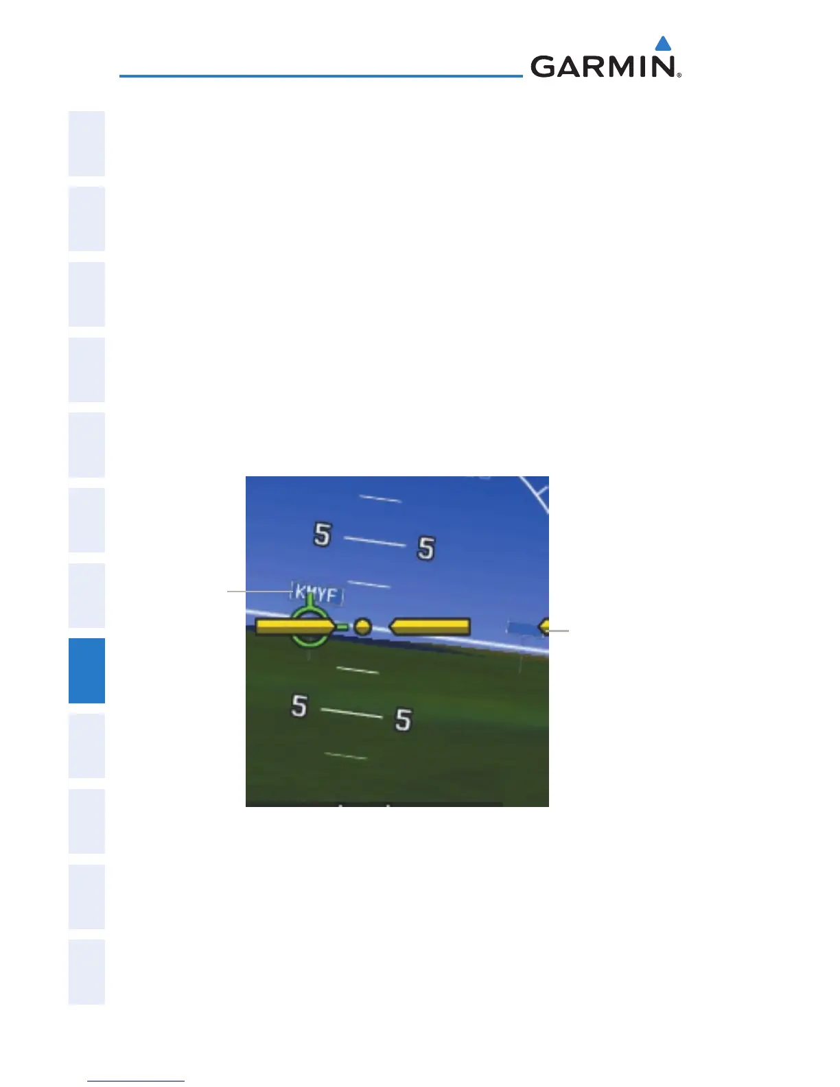
AIRPORT SIGNS
Airport Signs provide a visual representation of airport location and identification
on the synthetic terrain display. Airport Signs appear on the display when the
aircraft is approximately 15 nm from and airport and disappear at approximately
4.5 nm. Airport signs are shown without the identifier until the aircraft is
approximately eight nautical miles from the airport. Airport signs are not shown
behind the airspeed or altitude display.
Airport Signs
Airport Sign
with Identifier
(Between 4.5 nm
and 8 nm)
Airport Sign
without Identifier
(Between 8 nm
and 15 nm)

 Loading...


