Garmin G300 Pilot’s Guide
190-00921-00 Rev. D 137
Hazard Avoidance
System
Overview
Flight
Instruments EIS
COM
Interface
GPS
Navigation
Flight
Planning
Hazard
Avoidance
Additional
Features
Integrated
Autopilot Annun/Alerts Appendix Index
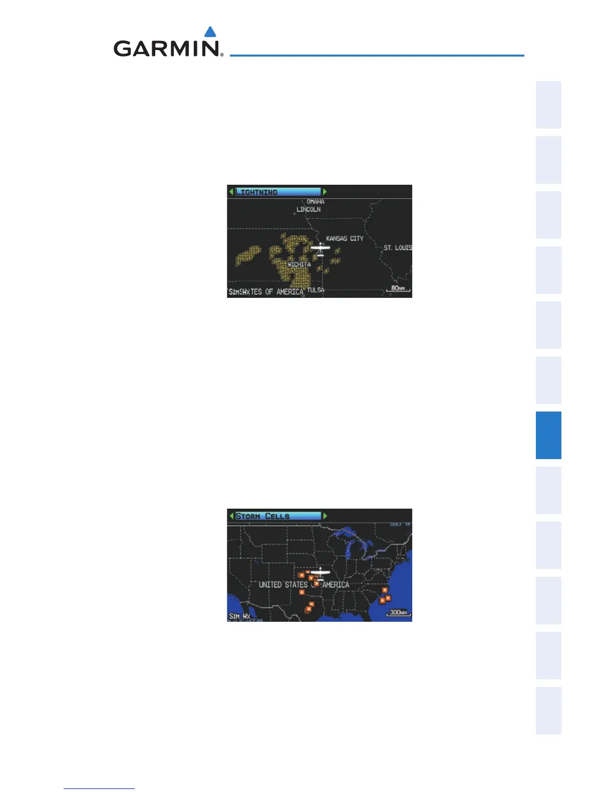
XM LIGHTNING
Lightning data shows the approximate location of cloud-to-ground lightning
strikes. A strike icon represents a strike that has occurred within a two-kilometer
region and within the last seven minutes. The exact location of the lightning strike
is not displayed.
Lightning Data (Single Display)
STORM CELLS
The Storm Cells feature displays storms as well as the storm’s projected path in
the immediate future.
The direction of the storm is displays by an arrow (at a range of 20 nm or less).
The tip of the arrow indicates where the storm should be in 15 minutes. Critical
information about the storm cell (tops and intensity) can be viewed by selecting
the storm cell with the map pointer. Pressing the ENT Key will display additional
information.
Storm Cell Data (Single Display)

 Loading...


