Garmin G3X Touch
™
Pilot’s Guide for Certified Aircraft
190-02472-00 Rev. D 139
GPS Navigation
System
Overview
Flight
Instruments EIS
CNS
Interface
GPS
Navigation
Flight
Planning
Hazard
Avoidance
Additional
Features AFCS Annun/Alerts Appendix Index
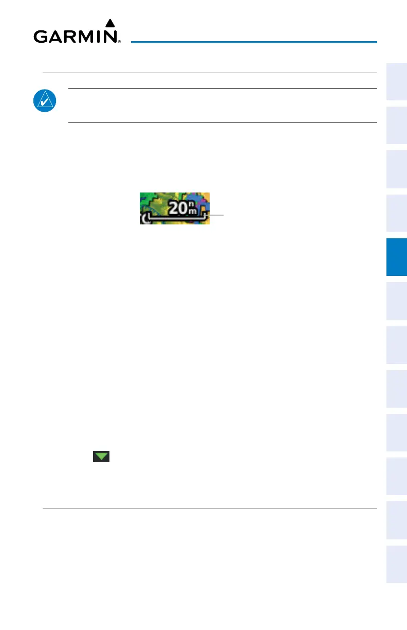
MAP RANGE
NOTE: Refer to the Additional Features section for information on changing
the
FliteCharts
®
or ChartView range.
There are 23 different map ranges available (distances are dependant on
configuration). The current range is indicated in the lower right corner of the map.
The scale bar represents the map scale. To change the map range on any map, use
the knob or touch the ‘+’ (decrease visible range) or the ‘-’ (increase visible range).
Map Range
Scale Bar Rep-
resenting a Map
Scale of 20 nm Per
Scale Width.
AUTO ZOOM
Auto Zoom allows the G3X Touch to change the map display range to the smallest
range clearly showing the active waypoint. Auto Zoom can be overridden by adjusting
the range and remains that way until the active waypoint changes, a terrain or traffic
alert occurs, or the aircraft takes off.
Safe Taxi also affects Auto Zoom. When the aircraft has landed at the destination
airport, the navigation map automatically zooms in to display the Safe Taxi diagram.
Enabling/disabling Auto Zoom:
1)
With the Map Page displayed, press the MENU Key.
2)
Touch Set Up Map.
3)
Under the ‘General’ Tab, find the Autozoom field.
4)
Touch .
5)
Touch On or Off.
MAP PANNING
Map panning allows the pilot to:
• View parts of the map outside the displayed range without adjusting the map
range
• Highlight and select locations on the map

 Loading...


