Garmin G3X Touch
™
Pilot’s Guide for Certified Aircraft
190-02472-00 Rev. D
266
Additional Features
System
Overview
Flight
InstrumentsEIS
CNS
Interface
GPS
Navigation
Flight
Planning
Hazard
Avoidance
Additional
FeaturesAFCSAnnun/AlertsAppendixIndex
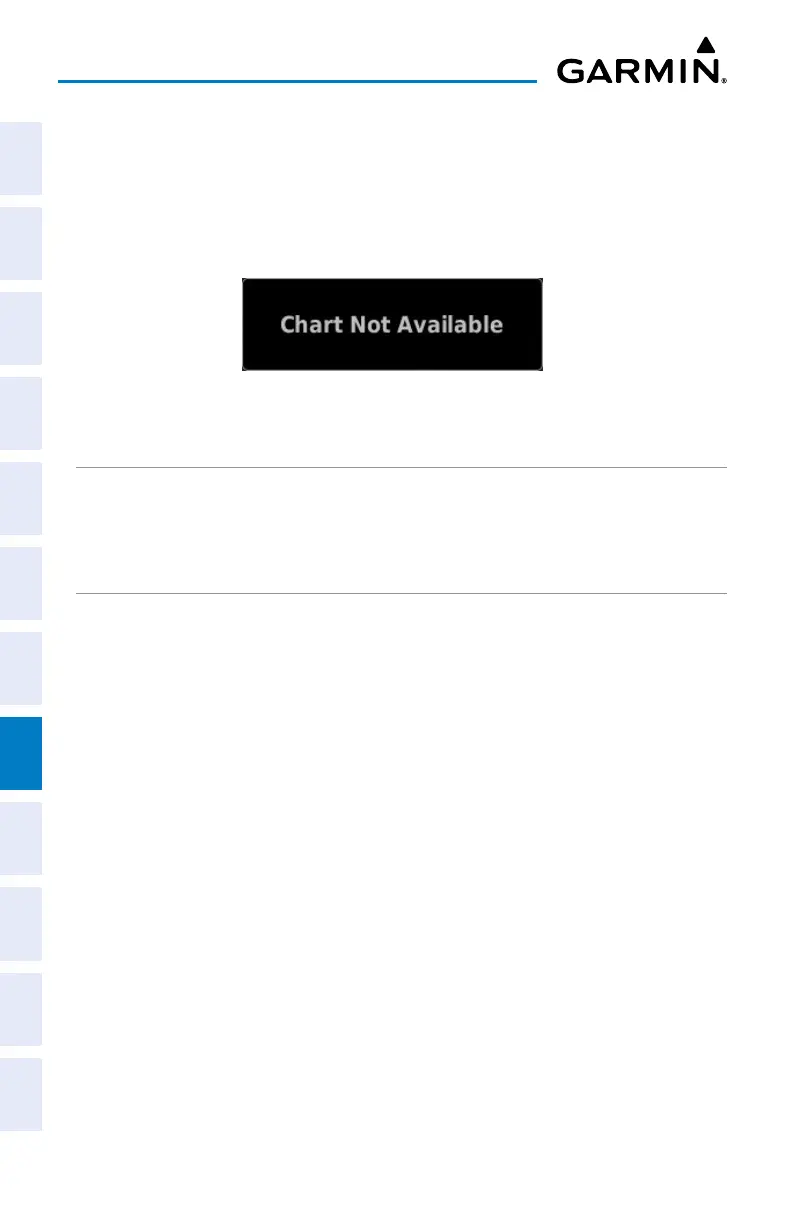
When a terminal procedure chart is not available for the requested airport or there is
an error rendering the data, the banner “Chart Not Available” appears on the screen.
The “Chart Not Available” banner does not refer to the ChartView subscription, but
rather the availability of a particular airport chart selection or procedure for a selected
airport.
Chart Not Available Banner
AIRCRAFT SYMBOL
The aircraft symbol is shown in magenta on the chart when the chart is to scale and
the aircraft position is within the boundaries of the chart.
CHART RANGE
Changing the chart range:
From the Waypoint Page with the Charts Tab selected, touch - or + to
change the range.
CHART EXPAND BUTTON
The Chart Expand Button in the lower left hand corner of the chart (Waypoint Page
> Charts Tab) quickly expands the chart.
Expanding the chart:
From the Waypoint Page with the Charts Tab selected, touch the Chart
Expand Button. Touch the Chart Expand Button again to resume normal
viewing.

 Loading...


