Garmin G3X Touch
™
Pilot’s Guide for Certified Aircraft
190-02472-00 Rev. D
54
Flight Instruments
System
Overview
Flight
InstrumentsEIS
CNS
Interface
GPS
Navigation
Flight
Planning
Hazard
Avoidance
Additional
FeaturesAFCSAnnun/AlertsAppendixIndex
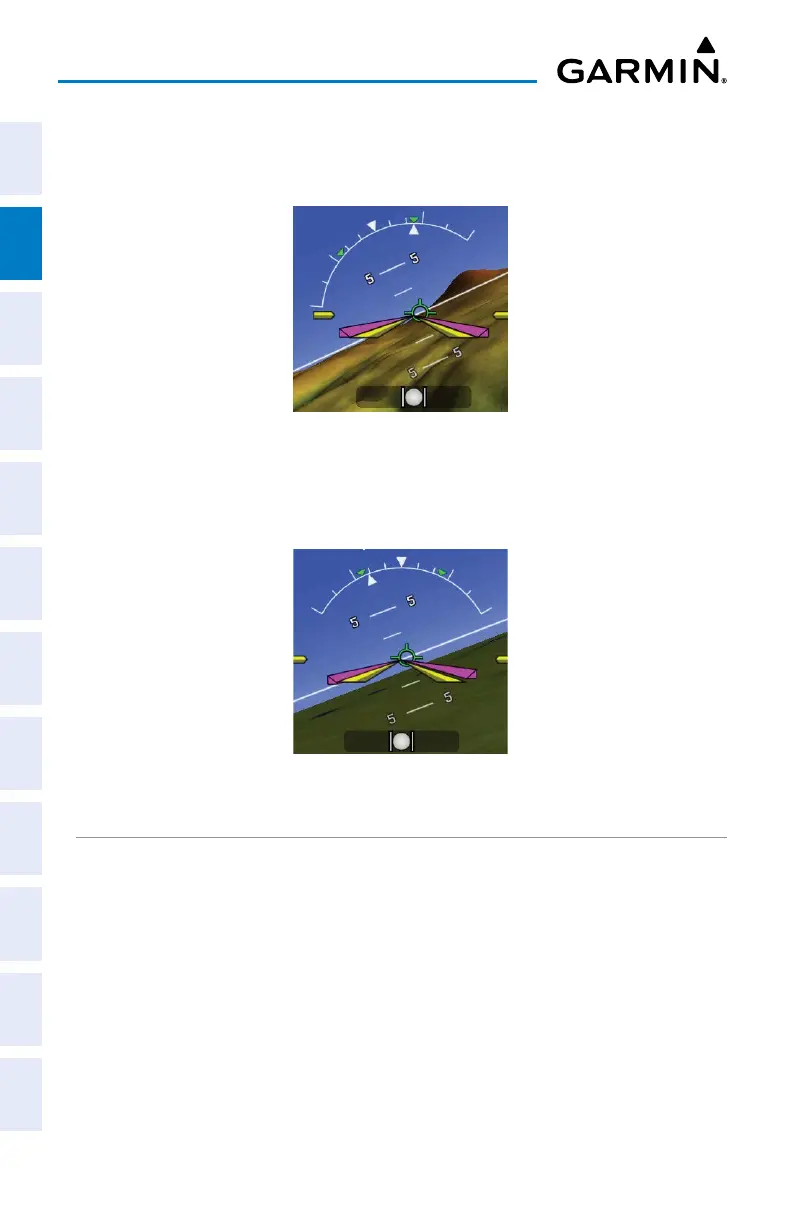
The Ground Pointer configuration displays both the roll arc and the pitch scale
anchored to the horizon and the roll pointer beneath the roll arc pointing to the
present roll angle.
Ground Pointer Configuration
The Sky Pointer configuration displays the pitch scale moving with the horizon, but
the roll arc remains fixed and centered in the display. The roll pointer beneath the roll
arc moves with the horizon and in the opposite direction of aircraft roll.
Sky Pointer Configuration
ALTIMETER
The Altimeter displays 400 feet of barometric altitude values at a time on a rolling
number gauge using a moving tape. Numeric labels and major tick marks are shown
at intervals of 100 feet. Minor tick marks are at intervals of 20 feet. The current
altitude is displayed in the black pointer.
The Selected Altitude is displayed above the Altimeter in the box indicated by a
selection bug symbol. A bug corresponding to this altitude is shown on the tape; if
the Selected Altitude exceeds the range shown on the tape, the bug appears at the
corresponding edge of the tape.

 Loading...


