Garmin G3X Touch
™
Pilot’s Guide for Certified Aircraft
190-02472-00 Rev. D
148
GPS Navigation
System
Overview
Flight
InstrumentsEIS
CNS
Interface
GPS
Navigation
Flight
Planning
Hazard
Avoidance
Additional
FeaturesAFCSAnnun/AlertsAppendixIndex
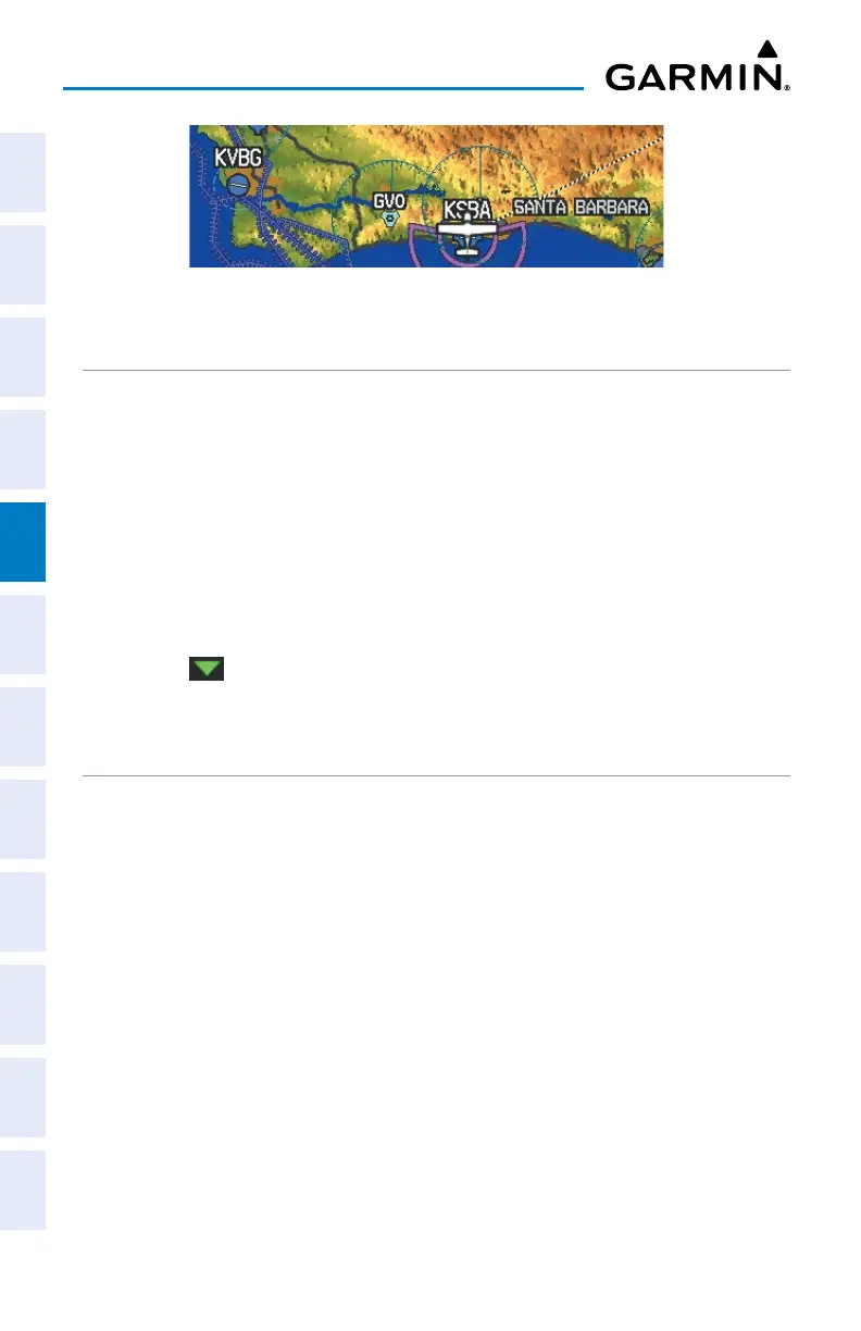
Topographic Shading (Map Page)
MAP PAGE TRAFFIC
Enabling/disabling traffic on the Map Page:
1)
From the Map Page, press the MENU Key.
2)
Touch Traffic.
Enabling/disabling TargetTrend Overlay:
1)
From the Map Page, press the MENU Key.
2)
Touch Set Up Map.
3)
Under the ‘Traffic’ Tab, touch and drag to scroll to the TargetTrend field.
4)
Touch .
5)
Touch On or Off.
MAP SYMBOLS
Refer to Appendix G for a list of map symbols.
MAP DECLUTTER
The pilot can remove (declutter) unwanted items, such as highways from the map.
Decluttering the Map Page:
1)
From the Map Page, press the MENU Key.
2)
Touch -1, -2, or -3 under Map Detail.
MAP DETAIL
The map detail can also be adjusted. Map detail changes the amount of detail with
respect to the zoom scale.

 Loading...


