Garmin G3X Touch
™
Pilot’s Guide for Certified Aircraft
190-02472-00 Rev. D
152
GPS Navigation
System
Overview
Flight
InstrumentsEIS
CNS
Interface
GPS
Navigation
Flight
Planning
Hazard
Avoidance
Additional
FeaturesAFCSAnnun/AlertsAppendixIndex
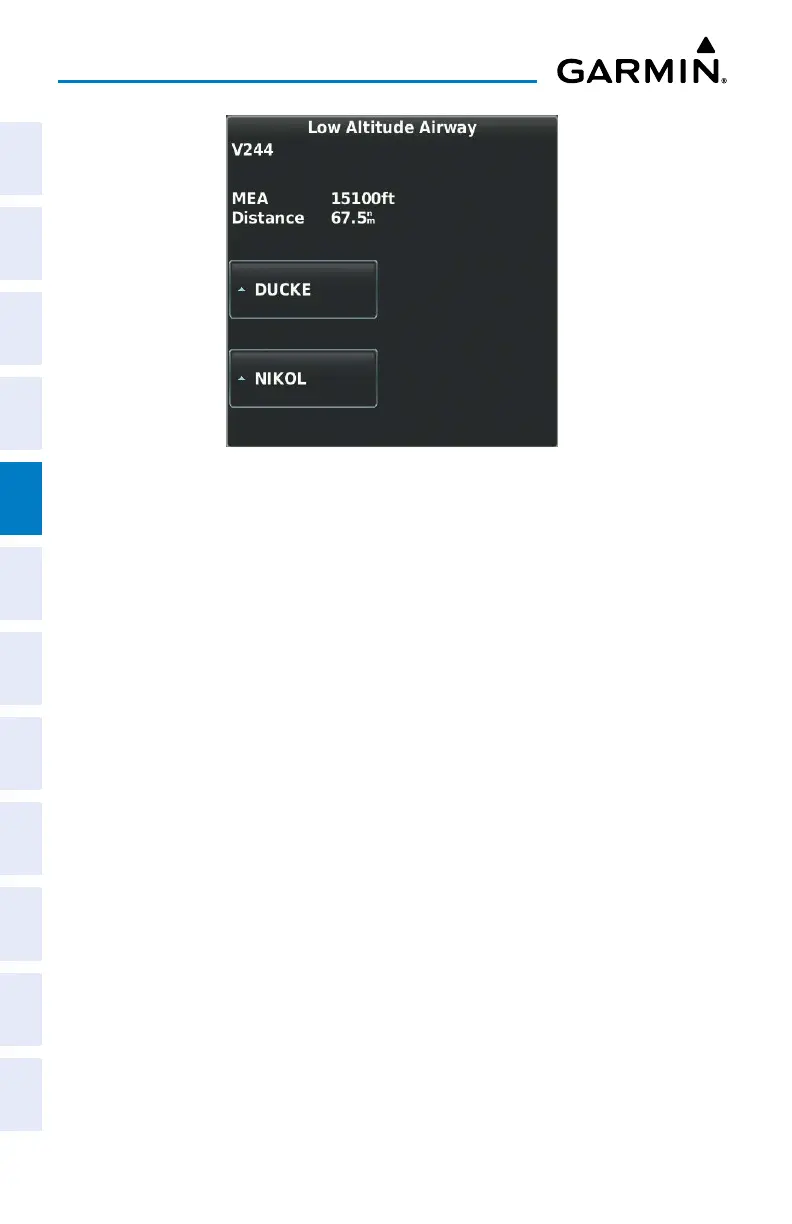
Low Altitude Airway Review Page
5.4 WAYPOINTS
The Waypoint (Wpt) Page provides airport and waypoint information.
Waypoints are predetermined geographical positions (internal database) or pilot-
entered positions, and are used for all phases of flight planning and navigation.
Waypoints can be changed by entering the ICAO identifier, entering the name of
the facility, or by entering the city name. As a waypoint identifier, facility name, or
location is entered, the G3X Touch’s Spell’N’Find™ feature scrolls through the data-
base, displaying those waypoints matching the characters which have been entered
up to that point. A direct-to navigation leg to the selected waypoint can be initiated
by pressing the Direct-to Key from the Waypoint Page.
The following descriptions and abbreviations are used:
• Usage type: Public, Military, or Private
• Runway surface type: Hard, Turf, Sealed, Gravel, Dirt, Soft, Unknown, or Water
• Runway lighting type: No Lights, Part Time, Full Time, Unknown, or PCL Freq (for
pilot-controlled lighting)
• COM Availability: TX (transmit only), RX (receive only), PT (part time), * (additional
information available)

 Loading...


