 Loading...
Do you have a question about the Furuno FEA-2100 and is the answer not in the manual?
| Operating Temperature | -15°C to +55°C |
|---|---|
| Input Voltage | 24 V DC |
| Power Supply | 24 V DC |
| Compliance | IEC 60945 |
| Display Type | LCD |
Details the scope of the Operators Manual and the Technical Manual for the ECDIS.
Provides logical order for gaining insight into system operation for own ship.
Covers chart motion, legend, and datum details for chart display.
Explains system alarms, steering alarms, acknowledge alarm, and system failure.
Divides navigation tasks into four basic areas: voyage planning, positioning, monitoring, and steering.
Describes preparation phase for voyage, including route definition, calculation, and optimization.
Details route profile, route check, and voyage optimization steps.
Lists radio and satellite navigation equipment used for position determination.
Details heading measurement and speed measuring devices for dead reckoning.
Explains using radar objects as reference targets for ship position calculation.
Describes information displayed on the electronic sea chart.
Lists types of alarms related to monitoring tasks.
Explains the built-in function for man overboard events.
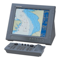
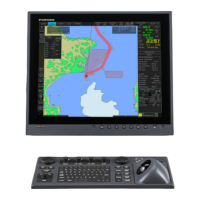
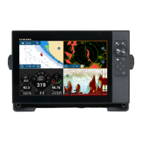
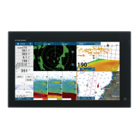
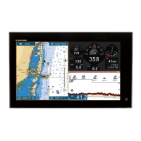
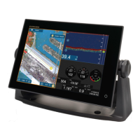
Describes the different areas of the ECDIS screen display.
Details the types of electronic charts usable by ECDIS.
Explains the area where user interacts with application through dialog boxes.
Describes the Control Panel components and their use for ECDIS control.
Explains the function of SELECT, OK/ENTER, SELECT NEXT, and CLOSE/CANCEL buttons.
Details buttons like STANDARD DISPLAY, CHART ALIGN, ZOOM OUT, ZOOM IN.
Describes push buttons for accessing menus like CONNING, ROUTE PLAN, SENSORS.
Instructions for updating ARCS or S57 chart material before a new voyage.
Importance of setting current date for S57 charts for correct presentation.
Procedure to create or modify routes, user charts, reference targets, and pilot data.
Adjusts arrival times of a route for departure time and performs optimization.
Ensures route checks against Chart Alarms, important for date-dependent information.
Selects a route for the next voyage monitoring.
Checks the next waypoint for route monitoring and automatic steering.
Allows selection of a final waypoint different from the last one defined in the route.
Checks GYRO1 or GYRO2 settings, including manual course and rate gyro.
Checks LOG and DUAL LOG settings, including manual speed and position sensors.
Explains chart carriage requirements and how ECDIS fulfills SOLAS chapter V/20.
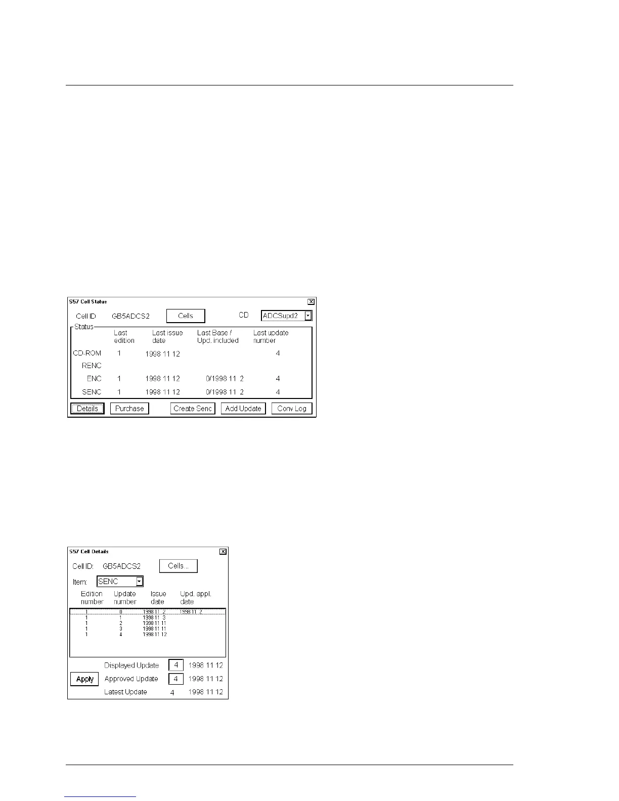
Details how to identify ENC coverage using S57 chart display and upper status bar.
Explains vector chart coding techniques like S57ed3 and CM-93.
Details compatibility with official IHO S57 release 3 chart material (ENC).
Step-by-step guide for loading S57 charts using CD Catalogue, floppy, or LAN.
Covers RENC services like CD-Service and Telecomm Service for ENC delivery.
Describes ARCS charts as digital reproductions of BA paper charts.
Explains information provided in the ARCS chart legend.
Discusses the difference between ARCS chart local datum and WGS84 datum.
Covers chart plan functions for managing ARCS chart database.
Defines manual updates for chart corrections and essential information.
Explains how to control visible chart objects from Manual Updates.
Details how to set current date for viewing manual updates.
Provides tools for creating, modifying, and deleting manual update objects.
Explains ECDIS capability for detecting dangerous areas and generating alarms.
Lists common alarms from navigation calculation.
Lists common alarms from chart calculation.
Lists alarms related to steering functions, with or without Track Pilot.
Explains selection between true motion and relative motion display modes.
Describes navigation marks like REFERENCE POINT, EBL, VRM, PARALLEL INDEX.
Details methods to move Electronic Bearing Line (EBL) using cursor or CHART ALIGN.
Defines a route plan as a complete navigation plan from start to destination.
Outlines main parameters for route planning and control buttons.
Explains the importance of selecting a datum for consistent position display.
Step-by-step guide to create a new route by entering a name.
Describes system's position calculating device based on tracking radar targets.
Procedure to select reference target files for use in the system.
Explains datum selection importance for consistent position calculations.
Guide to create a new reference target by naming and defining its properties.
User can select navigation sensors and view their current values.
Procedure to set the initial value for Gyro1 if interfaced via synchro or stepper.
Explains how Kalman filter uses primary/secondary sensors for position calculation.
Shows how to display tracked ARPA radar targets on ECDIS screen.
Describes how dangerous ARPA targets are displayed as blinking symbols.
Explains how lost ARPA radar targets are displayed.
Explains the optional Radar Echo Overlay feature for transferring radar image to ECDIS.
Procedure to activate radar echo overlay and adjust its visual image.
Indicates the source of the current radar echo overlay.
Describes ECDIS capability to record voyage related things like movement and targets.
Explains LOGBOOK M.O.B and LOGBOOK EVENT functions.
Details log contains information of last 12 hours, recorded once per minute.
Defines datum as a mathematical model of the earth connecting positioning and sea chart.
Discusses datum compatibility issues with traditional national Datums in paper charts.
Notes that electronic charts generally based on rasterizing/vectorizing paper charts.
Defines parameters for ECDIS configuration, steering, and navigation calculation.
Allows user to set date, local time, and time zone.
Defines ship and route parameters essential for integrated navigation.
Adjusts brilliance, brightness, and contrast for optimal display visibility.
Tool to check if individual colours are distinguishable for ARCS charts.
Tests colour differentiation for S57 charts using palettes.
Describes steering functions available with the optional EMRI Track Pilot.
Lists available steering modes: Hand, Trackpilot, Waypoint, Track, Radar assisted.
Details hand steering modes: Wheel, Wing Control, Override Tiller.
Lists steering modes available with Yokogawa autopilot: Hand, Autopilot, Waypoint.
Describes hand steering modes: Steering wheel, Wing control, Override tiller.
Explains operator setting of heading and limitations of turning radius control.
Categorizes alarms into Navigation, Chart, and Steering Calculation types.
Lists common alarms from navigation calculation, like sensor errors.
Lists common alarms from chart calculation, like new pilot data availability.
Provides definitions for terms used in the manual related to navigation and charts.
Presents examples of symbology used in S57 charts for learning.
Provides examples to interpret S57 chart features without prior knowledge.
Illustrates chart features using paper chart or simplified symbols.
Shows chart display examples using two-colour or multi-colour depth presentations.
Details compatibility with C-MAP private industry Vector Chart format CM-93.
Introduces C-MAP charts and their requirements for use in ECDIS.
Provides an example of S57 chart legend when using C-MAP charts.
Explains the licence system based on serial numbered CD-ROMs and Authorisation Codes.
Guides on starting with C-MAP charts, including conversion and loading.
Details the procedure for keeping C-MAP charts up-to-date with new chart reissues.
Filters for selecting displayed cells in S57 Catalog window.
Shows information about the selected cell.
Procedure to create user-defined groups of cells for easier maintenance.
Procedure to remove a defined group of cells from the hard disk.