166 •
••
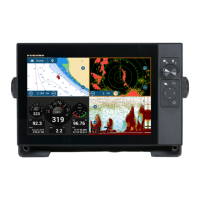
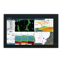
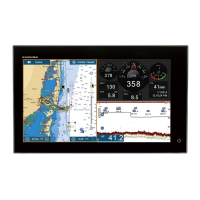
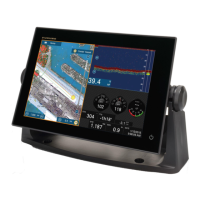
• Raster Chart material
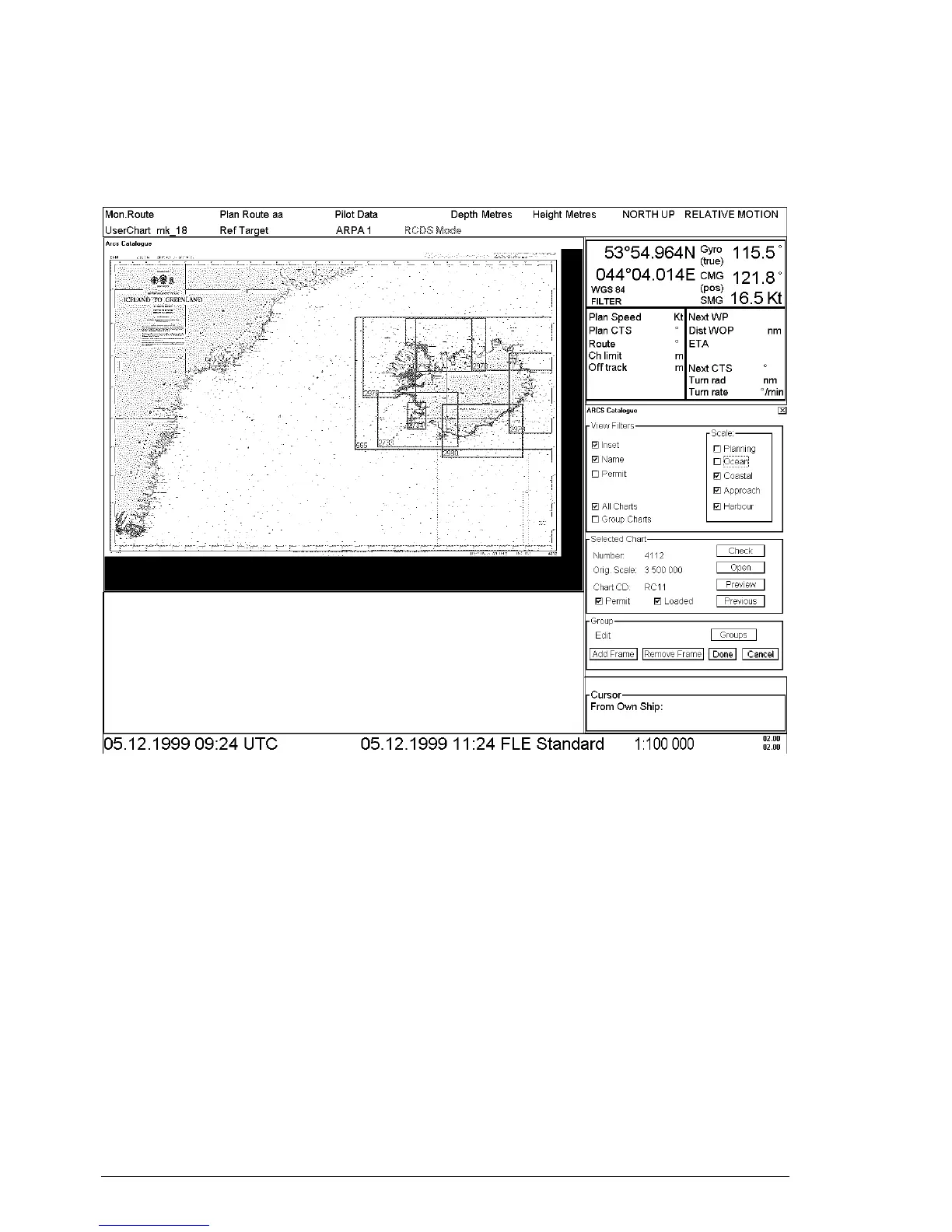
ARCS Catalogue
For the managing of ARCS charts it is possible to use ARCS Catalogue command. This command is available from
CHART PLAN menu. By choosing this command an ARCS Catalogue window opens up in the Electronic chart
area and ARCS Catalogue dialog appears in the dialog box area.
View filters:
User can filter ARCS chart limits displayed in ARCS Catalog window selecting desired options in View filters -field.
There are different categories for the ARCS charts depending on scale of them. The categories are:
1. Planning
2. Ocean
3. Coastal
4. Approach
5. Harbour
Selection of Inset displays insets included in charts, selection of Name displays ID number of charts and selection of
Permit displays limits only for charts which the system has permit to use.
Selection of All Charts displays limits for all the ARCS charts available and selection of Group Charts displays
limits for user defined group charts.
User can select chart to preview by clicking the limit of chart in ARCS catalogue window. The colour of chart's
limits indicates status of a chart, if the system has permit and if it is loaded to the ECDIS.
 Loading...