30 •
••
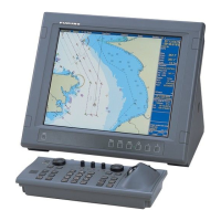
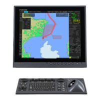
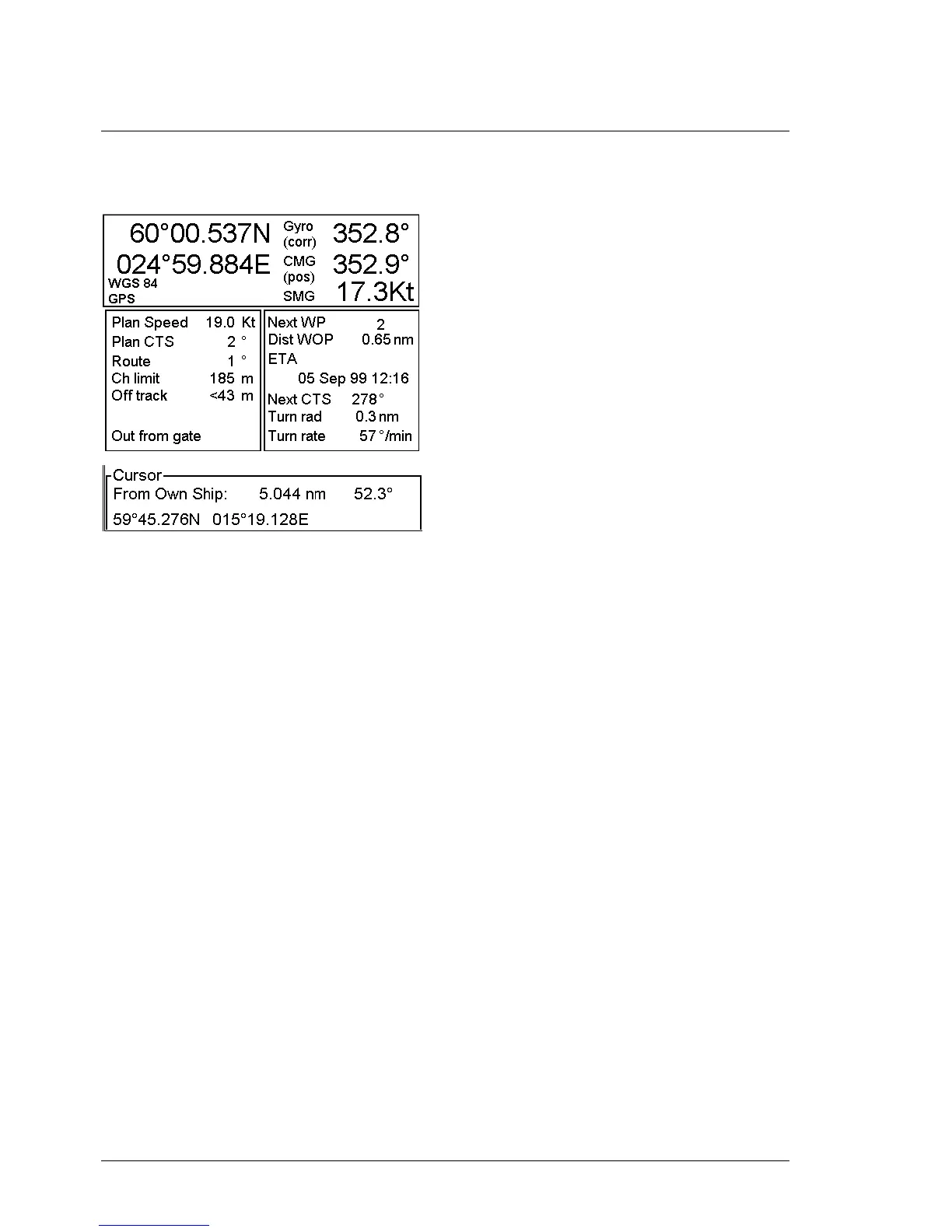
• ECDIS Screen
Information Area
There is in the Information area where it is permanently displayed information about the position of own ship and the
route monitoring (upper part of the area) and information of cursor's location on the chart (lower part of area).
Information from the positioning sensors:
• Latitude and Longitude
• GYRO readings and source of it
• CMG (Course made good) and source of it
• SMG (Speed make good) and source of it
• Positioning source, which can be: Dead Reckoning, GPS, DGPS, LORAN, FILTER etc.
Information of used datum, which is shown above positioning source. (WGS 72, WGS 84, European 1950 etc.)
Information from Route monitoring:
• Plan Speed
• Plan CTS (Course to steer)
• Ch limit
• Next WP
• Turn radius
• Turn rate
Information, which has calculated from data of positioning sensors and from data of Route monitoring by the system:
• Route CTS
• Off track
• Dist WOP (wheel over point)
• ETA (Estimated Time of Arrival) wop
• Next CTS
 Loading...