Coursechange
Whenbothvesselsaretravellingatthesamespeed,coursealterationsshouldbemadein
accordancewiththeguidanceprovidedine
xamples1and2.
Speedchange
Whenbothvesselsaretravellingatthesamespeed,alteringyourspeedwillchangethecollision
scenariotooneofthescenariosdetailedinexamples1and2.
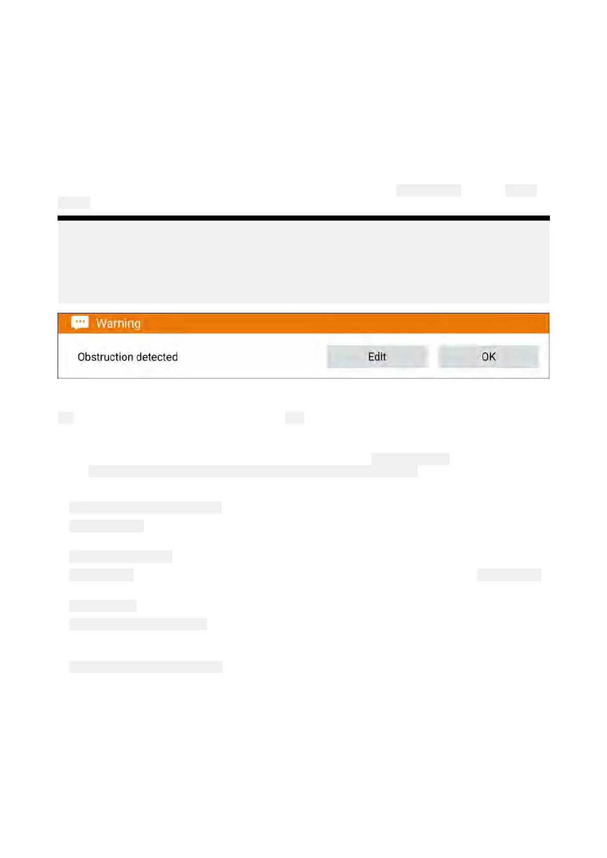
Obstructionalarm(LightHousecharts)
TheObstructionalarmprovidesawarningifachartedobject,charteddepthcontourorcharted
heightclearanceisdetectedthatconflictswiththeMFD’sconfigured Safetydepthand/or Safety
heightsettings.
Note:
•TheObstructionalarmrequiresLightHouse™chartsorL egacyLightHouse™vectorchartsas
thealarm’s Cartographysource.
•Objectdepths,depthcontoursandclearanceheightsarebasedonthecartographyinuse.
•Ifanobstructionisnotpresentinthespecified
Cartographysourceitwillnottriggerthealarm.
WhentheObstructionsalarmistriggeredanalarmnotificationisdisplayedandanaudiblebeepis
soundedontheMFD .Fromtheonscreennotificationyoucanacknowledgethealarmbyselecting
OK,oreditthealarmparametersbyselecting Edit.
Obstructionalarmparameters
TheObstructionalarmparametersmustbeconfiguredfromthe Alarmmanagerbeforeitcanbe
used:Homescreen>Alarms>Settings>LightHousechartobstructions.
Thefollowingoptionsmustbeconfiguredforcorrectoperation:
•LightHousechartobstructions—Enablesanddisablestheobstructionalarm.
•
Indicationonly—Enablesanddisablesthewarningnotificationdialogue(A udiblebeepandRed
detectionzoneoutlineonly).
•Cartographysource:—ChoosetheLightHousechartrelevantforyouregion.
•Safetydepth—Specifiestheminimumsafedepthforyourvessel.TheChartapp ’s Safecontour
depthvalueissynchronizedwiththeSafetydepthvalue.
•
Safetyheight—Specifiestheminimumheightforyourvessel.
•Obstructionwarningahead—Specifieshowmuchtimeinadvanceofreachingtheobstruction
thealarmwillbetriggered.Thismeansthefasteryourvesselspeedisthefartheraheadthe
detectionzonewillbedrawn.
•Minimumobstructiondistance—Specifiestheminimumdistancefromyourvesseltoport,
starboard,aftandwhenmotionless,fore .ThedetectionzoneisdisplayedintheChartappasan
oblongshapearoundyourvesselwhichturnsRedwhenanobstructionisdetected.
Chartapp
161

 Loading...