1
U
AVCOG
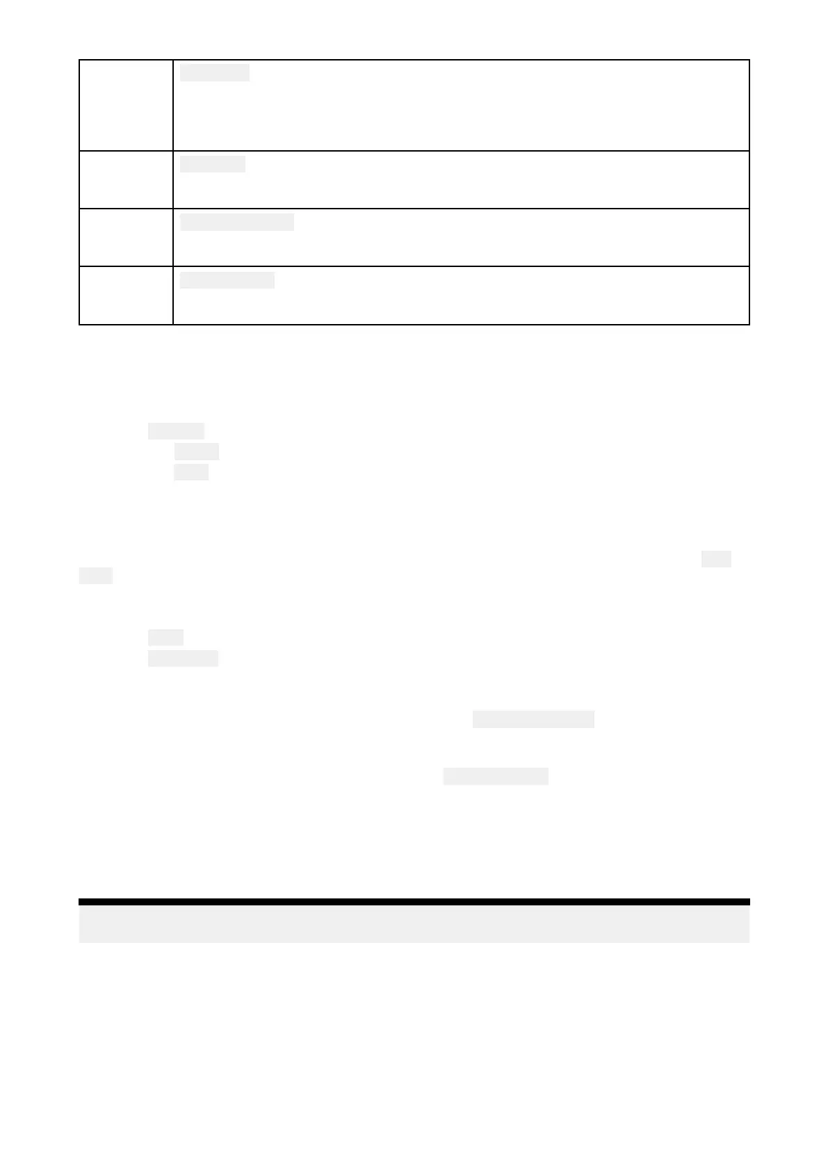
ThedirectionoftheBluelineindicatestheUAV’scurrentCourseOverGround
(COG).ThelengthofthelineindicatestheUAV’spredictedpositionwhenthe
specifiedvectorReferenceperiodhaspassed.
TheVectorReferenceperiodcanbeadjustedfromthevesselicon’scontextmenu.
2
U
AVIcon
DisplayedwhentheUAVoptionisenabledintheChartappsettings,andyourUAV
hasaGNSS(GPS)positionfix.
3
Cameraheading
TheBlackCameraheadingarrowisfix
edtoprovideanindicationofthedirection
theUAV’scameraispointingtowards.
4
Linetovessel
TheYellowdottedlinerepresentstheangleoftheUAV’spositionrelativetoyour
vessel.
ShowingorhidingtheU AVicon
TheUAViconisdisplayedbydefaultintheChartapp.Theiconcanbehiddenifrequired.
FromtheChartappmenu:
1.Select Settings.
2.Selectthe Layerstab.
3.Selectthe
UAV:toggleswitch.
SelectingtheUAVtoggleswitchwillmaketheUAViconvisible(on)orinvisible(off).
PerformingaUAVGoto
WhenyourUAVisinflightyoucanselectalocationorobjectintheChartappandperforma UAV
Goto(yourU AVwillflytotheselectedlocationorobjectandhover).
1.SelectalocationorobjectintheChartapp.
TheChartcontextmenuisdisplayed.
2.Select
More.
3.SelectUAVGoto.
AUAVwaypointmarkerisplacedtosignifytheUAV’sdestinationandtheUAVwillflytothat
location.
Y oucanstopaUAVGotoatanytimebyselectingtheRed
CancelUAVGotothatisdisplayed
onscreenintheUAVapp,whenaUAVGotoisactive.CancellingaUAVGotowillstoptheGoto
actionandtheUAVwillhoverinitscurrentlocation.
AUAVGotocanbecancelledatanytimebyselecting
StopUAVGotofromtheChartcontextmenu.
8.17SonarChart™Live
Y oucancreatepersonalbathymetrychartsusingyourdepthtransducerandtheSonarChart™Live
feature,availablewithcompatibleNavionics®electroniccartographycards.
Note:BeforeusingSonarChart™Liveensureyouhavecorrectlyconfiguredyourtransducer
depthsettings.
WhenusingSonarChart™Live ,newcontourlinesaredrawninrealtimeonthescreenbasedonyour
transducer’sdepthreadings.Colorshadingisusedtoreflectdepth,withdarkredsignifyingthe
shallowestarea.ThesonardataisrecordedtoyourcartographycardandissharedwithNavionics
whenyouupdateyourchartcardonline.
Tidecorrection
SonarChart™Liverecordstheactualreadingsfromyourdepthtransducerundercurrenttide/water
levelconditions.Y oucanenableautomaticadjustmentofdepthreadingsbasedonnormalizedlow
tide/lowwaterleveldepthdatatakenfromanearbyTidestation.
Chartapp
197
 Loading...
