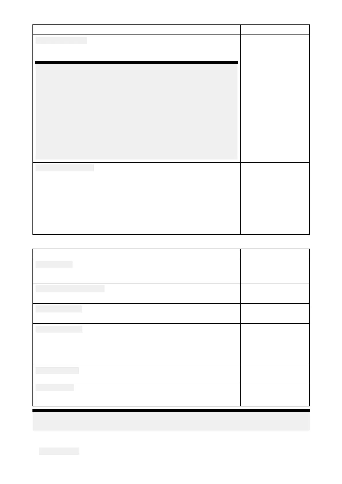
MenuitemanddescriptionOptions
Chartappearance
AllowsyoutochangetheappearanceoftheChartapp
.Thesettings
availablearedependentonthecartographyinuse.
Note:
•(1)A
vailableonNavionics®charts
•(2)AvailableonNavionics®andLightHouse™charts.
•(3)AvailableonNavionics®,C-MAP®andLightHouse™charts.
•(4)Thissettingisalwaysavailableandnotdependentonthe
cartographyinuse.
•(5)AvailableonNavionics®,C-MAP®,LegacyLightHouse™and
LightHouse™charts.
•(6)AvailableonC-MAP®andLightHouse™charts.
•(7)AvailableonNavionics®andC-MAP®charts.
•2Dshading(1)
•Aerialoverlay(2)
•Aerialoverlay
opacity(3)
•R
eliefshading(1)
•Grid(4)
•Charttext(4)
•Chartboundaries(5)
•Text/symbolsize(6)
•Deepwatercolor(7)
•Communityedits(1)
Mydataappearance
Y oucanchangehowyourUserdataappearsintheChartapp.
Thissettingisalwaysavailableandnotdependentonthecartographyin
use.
•Waypointsnames
•Routenames
•Tracknames
•Routewidth
•Trackwidth
•Vectorwidth
•Vectorlength
W eathersettingstab
MenuitemanddescriptionDescription
Windsymbol
DetermineswhetherArrowsorBarbsareusedforWinddirectiongraphics
inW eathermode.
•Arrows
•Barbs
Marinezoneboundaries
DetermineswhethermarineboundariesareshowninW eathermode.
•On
•Off
W atchboxalerts
EnablesanddisablesWatchboxalerts.
•On
•Off
W atchboxrange
DeterminestherangefromyourvesselthatWatchboxalertsaredisplayed
•50nm
•150nm
•300nm
•500nm
Signalstrength
Displaysthesignalstrengthofaconnectedweatherreceiver .
Signalstrengthgraph
R eceiverESN
DisplaystheElectronicSerialNumber(ESN)ofaconnectedweather
receiver.
ESN
Note:
TheW eathersettingstabisonlydisplayedwhentheChartappissettoWeathermode.
P agesettingstab
•
DataOverlays—EnablesconfigurationofDataoverlays,whichoverlayk eyinformationfrom
connectedsensorsontotheChart,Radar,SonarandCameraapps.
Chartapp
205
 Loading...
