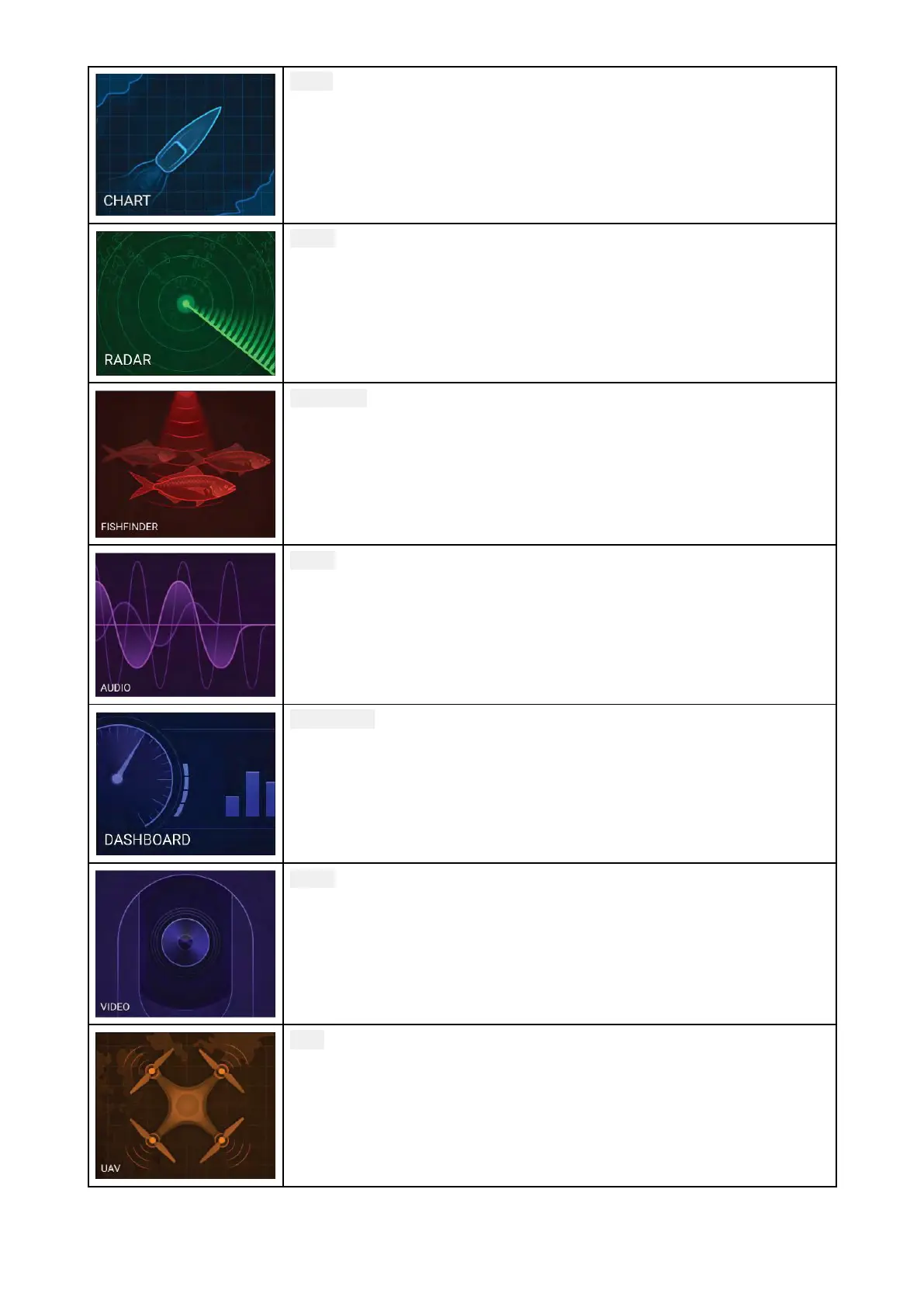
Chart—TheChartappdisplayselectroniccartographicinformationfrom
yourChartcardsandwhenusedinconjunctionwithaGNSSreceiver
,
plotsyourvessel’sposition.TheChartappcanbeusedtomarkspecific
locationsusingWaypoints,buildandnavigateRoutesorkeeparecord
ofwhereyouhavebeenbyrecordingaTrack.
Formoreinformationrefertop.121—Chartapp
Radar—TheRadarappisasituationalawarenessaidthatdisplays
agraphicalrepresentationofyoursurroundingsinrelationtoyour
vesselusingtheecho/targetreturnsfromaconnectedRadarscanner.
TheRadarappallowsyoutotracktargetsandmeasuredistancesand
bearings.
Formoreinformationrefertop.255—Radarapp
Fishfinder—TheFishfinderappusesaconnectedsonarmoduleand
transducertohelpyoutofindfishbybuildingupanunderwaterview
ofbottomstructureandtargetsinthewatercolumncoveredbyyour
transducer
.
Formoreinformationrefertop.241—Fishfinderapp
Audio—TheAudioappallowsyoutocontrolaudiofromaconnected
compatibleentertainmentsystem.
Formoreinformationrefertop.355—Audioapp
Dashboard—TheDashboardappprovidesdatareadingsfrom
connectedsensorsandequipment.TheDashboardappisalsousedfor
controlling,configured,compatible
,DigitalSwitchinghardware.
Formoreinformationrefertop.289—Dashboardapp
Video—TheCameraappallowsyoutocontrolandviewfeedscoming
fromconnectedvideoequipmentsuchasanIPcameraorThermal
camera.
Formoreinformationrefertop
.321—Videoapp
UAV—TheUAV(UnmannedAerialVehicle)appprovidesremote
controls,settingsandvideodisplay,includingflightdataforyour
compatibleUAVdevice.
Formoreinformationreferto
p.373—UAV(UnmannedAerialVehicle)app
62

 Loading...