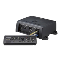
1. SYSTEM INTRODUCTION
1-14
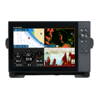
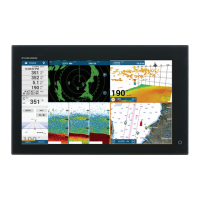
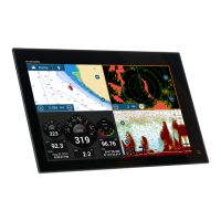
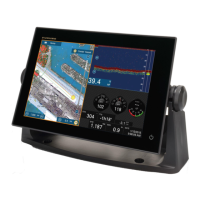
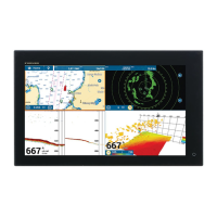
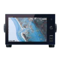
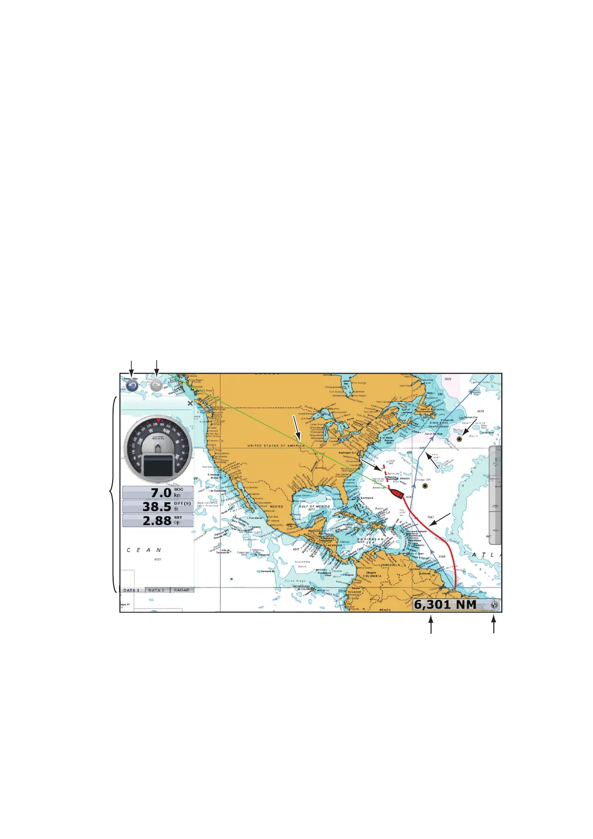
1.7 Chart Plotter Introduction
The chart plotter provides a small world map in raster format. A vector chart for the US
coastline (with Alaska and Hawaii) is provided also. The plotter section has functions
to enter points, and create and plan routes.
The chart plotter receives position information supplied from the position-fixing equip-
ment like GPS or DGPS. Your position is marked on the screen with the boat icon. You
can change the shape of the boat icon to match that of your ship.
The points and routes you have entered are shown on the screen. You can move, de-
lete and edit the points and routes from a pop-up menu.
The chart plotter also
• Plots the track of your ship
• Measures distances and bearings
• Marks man overboard (MOB) position
• Controls alarm functions
• Follows routes
The undo and redo icons are available for point and route operations.
Undo: Reverse the last action.
Redo: Repeat the last action.
Undo
icon
Redo
icon
Data
area
Chart
scale
North
indicator
10:30 AM
COG °M
291.7
Heading lineHeading line
COGCOG
RouteRoute
PointPoint
Your ship’s trackYour ship’s track
 Loading...