4-1
4. POINTS
4.1 About Points
In navigation terminology, a point is any location you put on the chart plotter display.
A point can be a fishing spot, reference point and other important locations. You can
use a point you have entered to set a destination.
This unit has 30,000 points into which you can enter position information.
When you enter a point, the point is put on the
screen with the point symbol selected as the
default point symbol. The position of the point,
symbol and color information are saved to the points list. You can show or hide the
points, and the default setting shows all points.
You can edit a point on the screen or the points list.
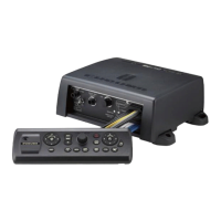
Note: Points can be shared with other NavNet TZtouch (or NavNet TZtouch2) via
LAN. Data is shared automatically; no operation is required. Units of measurement
(range, depth, etc.) also are shared.
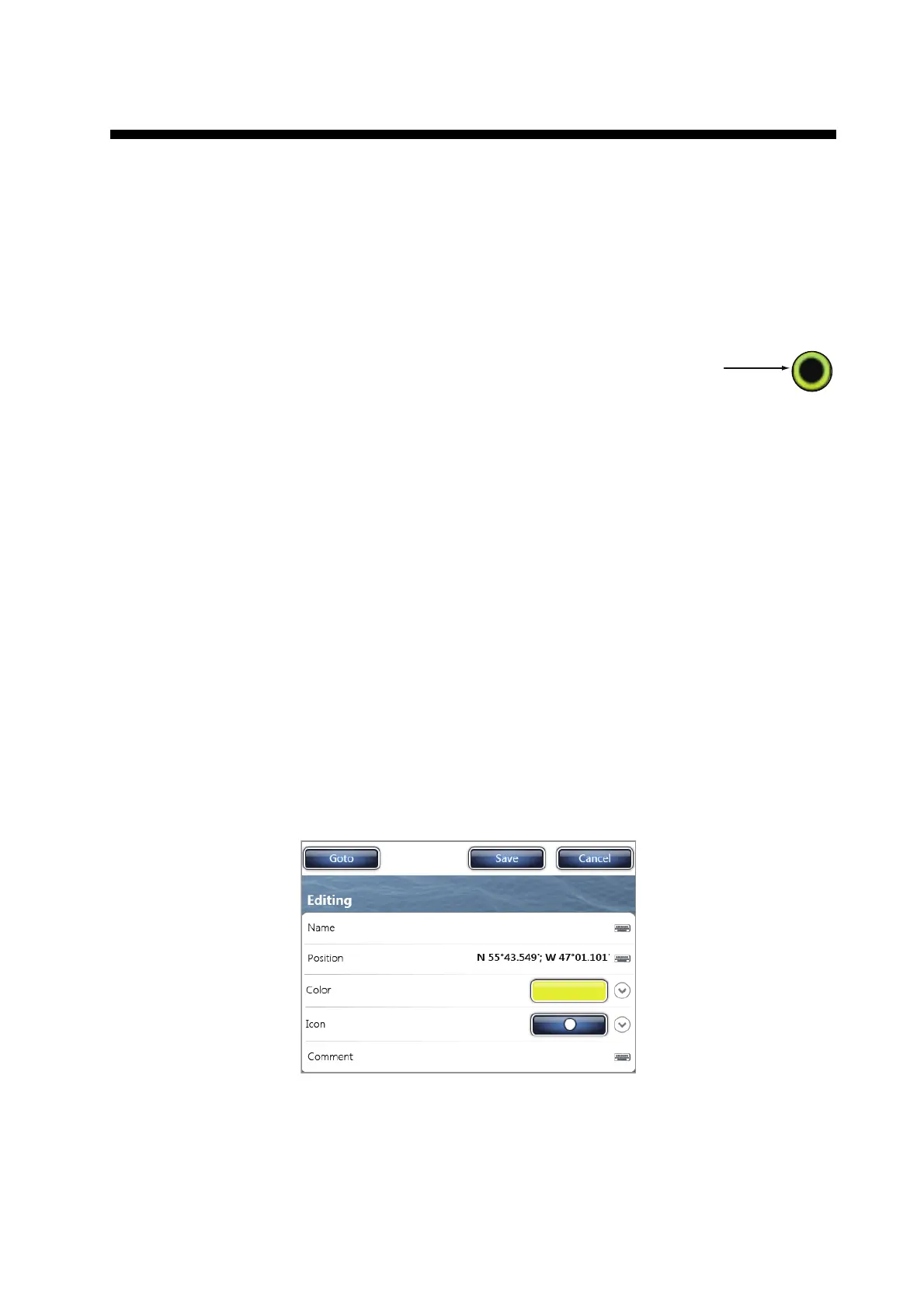
4.2 How to Put a Point or an Event Mark
4.2.1 How to put a point
1. Select the position to display the pop-up menu.
2. Select [New Point] or [Lat/Lon]. To set the position accurately, select [Lat/Lon]
then go to the next step.
3. Set the position referring to steps 2 and 3 in paragraph 4.7.1.
4. Select [Confirm]. The [Editing Point] window appears.
5. Select [Save]. The following occurs.
• The default point symbol is put at the selected position.
• The date and time of entry is automatically recorded as the [Comment].
• The point is saved to the points list.
Default point symbol
(black circle in yellow circle)
Point
2015/04/10 12:49:54
 Loading...